Distance to Kellyton, Alabama

Calculating Your Route
Just a moment while we process your request...
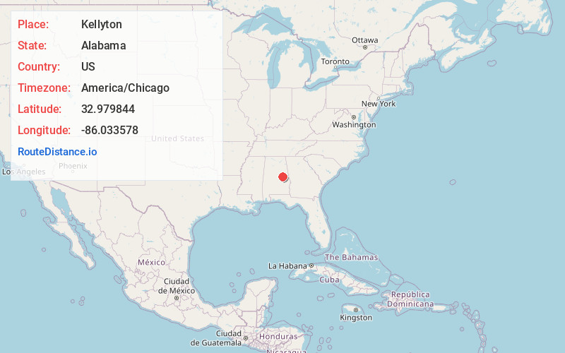
Location Information
-
Full AddressKellyton, AL 35089
-
Coordinates32.9798441, -86.033578
-
LocationKellyton , Alabama , US
-
TimezoneAmerica/Chicago
-
Current Local Time4:59:25 PM America/ChicagoSunday, June 1, 2025
-
Page Views0
About Kellyton
Kellyton is an incorporated town in Coosa County, Alabama, United States. It had a population of 217 as of the 2010 census.
The town is part of the Talladega-Sylacauga Micropolitan Statistical Area.

Nearby Places
Found 10 places within 50 miles

Alexander City
5.2 mi
8.4 km
Alexander City, AL
Get directions

Goodwater
6.0 mi
9.7 km
Goodwater, AL 35072
Get directions

Ray
6.4 mi
10.3 km
Ray, AL
Get directions
Hackneyville
8.1 mi
13.0 km
Hackneyville, AL 35010
Get directions
Our Town
11.3 mi
18.2 km
Our Town, AL 35010
Get directions
Nixburg
11.4 mi
18.3 km
Nixburg, AL 36026
Get directions
Hollins
11.5 mi
18.5 km
Hollins, AL 35072
Get directions
Rockford
12.5 mi
20.1 km
Rockford, AL 35136
Get directions
Stewartville
14.0 mi
22.5 km
Stewartville, AL
Get directions

Jackson's Gap
14.4 mi
23.2 km
Jackson's Gap, AL 36861
Get directions
Location Links
Local Weather
Weather Information
Coming soon!
Location Map
Static map view of Kellyton, Alabama
Browse Places by Distance
Places within specific distances from Kellyton
Short Distances
Long Distances
Click any distance to see all places within that range from Kellyton. Distances shown in miles (1 mile ≈ 1.61 kilometers).