Distance to Kelso, Arkansas

Calculating Your Route
Just a moment while we process your request...
Location Information
-
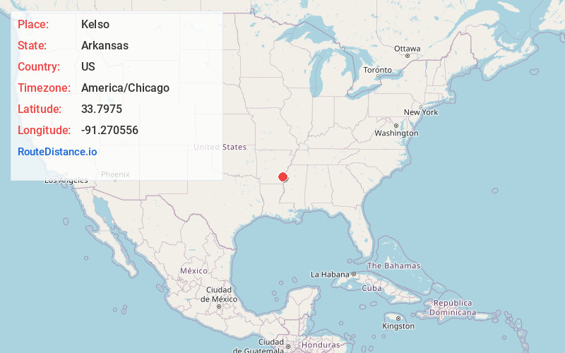
Full AddressKelso, AR 71674
-
Coordinates33.7975, -91.270556
-
LocationKelso , Arkansas , US
-
TimezoneAmerica/Chicago
-
Current Local Time4:24:12 AM America/ChicagoFriday, May 30, 2025
-
Page Views0
About Kelso
Kelso is an unincorporated community in Desha County, Arkansas, United States. The community is located at the intersection of Arkansas Highway 1 and Arkansas Highway 138.
Nearby Places
Found 10 places within 50 miles

Duce
1.4 mi
2.3 km
Duce, AR 71670
Get directions
Rohwer
2.5 mi
4.0 km
Rohwer, AR 71670
Get directions

Watson
6.8 mi
10.9 km
Watson, AR 71674
Get directions
McArthur
8.2 mi
13.2 km
McArthur, AR 71670
Get directions
Red Fork
9.6 mi
15.4 km
Red Fork, AR 71674
Get directions
Yancopin
10.3 mi
16.6 km
Yancopin, AR 71674
Get directions

Back Gate
11.7 mi
18.8 km
Back Gate, AR 71639
Get directions
Eutaw
11.8 mi
19.0 km
Eutaw, MS 38725
Get directions
Winchester
12.0 mi
19.3 km
Winchester, AR
Get directions
Yukon
12.0 mi
19.3 km
Yukon, AR 71677
Get directions
Location Links
Local Weather
Weather Information
Coming soon!
Location Map
Static map view of Kelso, Arkansas
Browse Places by Distance
Places within specific distances from Kelso
Short Distances
Long Distances
Click any distance to see all places within that range from Kelso. Distances shown in miles (1 mile ≈ 1.61 kilometers).