Distance to McArthur, Arkansas

Calculating Your Route
Just a moment while we process your request...
Location Information
-
Full AddressMcArthur, AR 71670
-
Coordinates33.690643, -91.334579
-
LocationMcArthur , Arkansas , US
-
TimezoneAmerica/Chicago
-
Current Local Time2:58:10 AM America/ChicagoFriday, June 6, 2025
-
Page Views0
About McArthur
McArthur is an unincorporated community in Clayton Township, Desha County, Arkansas. It is located on Arkansas Highway 1 northeast of McGehee.
McArthur is one of two possible sites of the death of Hernando de Soto.
Nearby Places
Found 10 places within 50 miles

Rohwer
5.9 mi
9.5 km
Rohwer, AR 71670
Get directions

McGehee
6.2 mi
10.0 km
McGehee, AR 71654
Get directions
Reed
6.4 mi
10.3 km
Reed, AR
Get directions

Tillar
6.9 mi
11.1 km
Tillar, AR 71670
Get directions
Duce
6.9 mi
11.1 km
Duce, AR 71670
Get directions
Masonville
8.4 mi
13.5 km
Masonville, AR 71654
Get directions

Arkansas City
9.3 mi
15.0 km
Arkansas City, AR 71630
Get directions
Winchester
10.0 mi
16.1 km
Winchester, AR
Get directions
Halley
10.7 mi
17.2 km
Halley, AR 71638
Get directions
Eutaw
10.8 mi
17.4 km
Eutaw, MS 38725
Get directions
Location Links
Local Weather
Weather Information
Coming soon!
Location Map
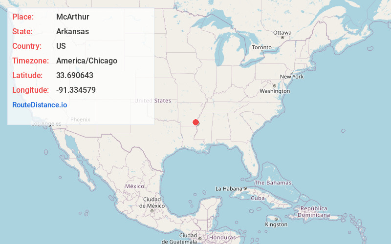
Static map view of McArthur, Arkansas
Browse Places by Distance
Places within specific distances from McArthur
Short Distances
Long Distances
Click any distance to see all places within that range from McArthur. Distances shown in miles (1 mile ≈ 1.61 kilometers).