Distance to Tillar, Arkansas

Calculating Your Route
Just a moment while we process your request...
Location Information
-
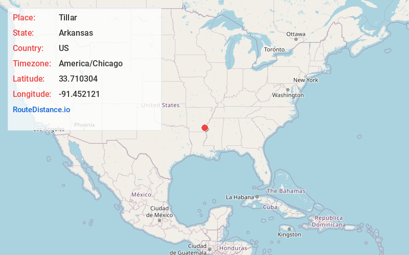
Full AddressTillar, AR 71670
-
Coordinates33.7103035, -91.4521208
-
LocationTillar , Arkansas , US
-
TimezoneAmerica/Chicago
-
Current Local Time12:43:56 AM America/ChicagoSunday, May 25, 2025
-
Page Views0
About Tillar
Tillar is a town in Desha and Drew counties in the U.S. state of Arkansas. The population was 225 at the 2010 census. The area west of it was known as Tillar Station. Frank Tillar Memorial Methodist Episcopal Church, South is listed on the National Register of Historic Places.


Nearby Places
Found 10 places within 50 miles

McGehee
7.9 mi
12.7 km
McGehee, AR 71654
Get directions

Dumas
12.1 mi
19.5 km
Dumas, AR
Get directions

Dermott
12.8 mi
20.6 km
Dermott, AR 71638
Get directions

Mitchellville
13.7 mi
22.0 km
Mitchellville, AR 71639
Get directions

Arkansas City
15.8 mi
25.4 km
Arkansas City, AR 71630
Get directions

Gould
20.0 mi
32.2 km
Gould, AR 71643
Get directions

Monticello
20.9 mi
33.6 km
Monticello, AR 71655
Get directions
Benoit
25.8 mi
41.5 km
Benoit, MS 38725
Get directions

Rosedale
26.3 mi
42.3 km
Rosedale, MS 38769
Get directions
Star City
27.6 mi
44.4 km
Star City, AR 71667
Get directions
Location Links
Local Weather
Weather Information
Coming soon!
Location Map
Static map view of Tillar, Arkansas
Browse Places by Distance
Places within specific distances from Tillar
Short Distances
Long Distances
Click any distance to see all places within that range from Tillar. Distances shown in miles (1 mile ≈ 1.61 kilometers).