Distance to Kendall, Kansas

Calculating Your Route
Just a moment while we process your request...
Location Information
-
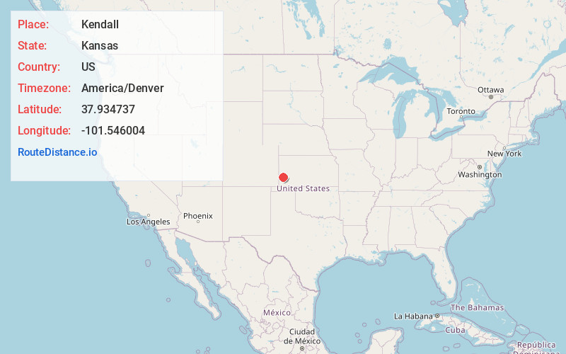
Full AddressKendall, KS 67857
-
Coordinates37.9347373, -101.5460038
-
LocationKendall , Kansas , US
-
TimezoneAmerica/Denver
-
Current Local Time2:03:13 AM America/DenverThursday, June 5, 2025
-
Page Views0
About Kendall
Kendall is an unincorporated community in Hamilton County, Kansas, United States. It is located near U.S. Route 50, approximately 12 miles southeast of Syracuse.
Nearby Places
Found 10 places within 50 miles

Syracuse
11.7 mi
18.8 km
Syracuse, KS 67878
Get directions

Lakin
15.9 mi
25.6 km
Lakin, KS 67860
Get directions

Deerfield
22.7 mi
36.5 km
Deerfield, KS 67838
Get directions
Big Bow
25.6 mi
41.2 km
Big Bow, KS 67855
Get directions

Coolidge
26.3 mi
42.3 km
Coolidge, KS 67836
Get directions

Ulysses
26.5 mi
42.6 km
Ulysses, KS 67880
Get directions

Johnson City
27.6 mi
44.4 km
Johnson City, KS 67855
Get directions

Holcomb
30.5 mi
49.1 km
Holcomb, KS 67851
Get directions

Holly
32.4 mi
52.1 km
Holly, CO 81047
Get directions
Manter
33.9 mi
54.6 km
Manter, KS 67862
Get directions
Location Links
Local Weather
Weather Information
Coming soon!
Location Map
Static map view of Kendall, Kansas
Browse Places by Distance
Places within specific distances from Kendall
Short Distances
Long Distances
Click any distance to see all places within that range from Kendall. Distances shown in miles (1 mile ≈ 1.61 kilometers).