Distance to Kendricktown, Missouri

Calculating Your Route
Just a moment while we process your request...
Location Information
-
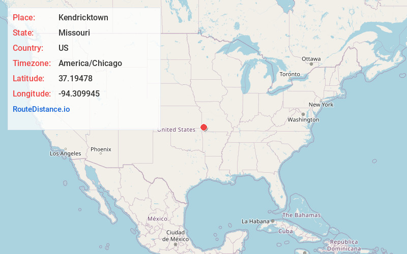
Full AddressKendricktown, MO 64836
-
Coordinates37.1947797, -94.3099453
-
LocationKendricktown , Missouri , US
-
TimezoneAmerica/Chicago
-
Current Local Time7:58:58 PM America/ChicagoMonday, June 23, 2025
-
Page Views0
About Kendricktown
Kendricktown is an unincorporated community in Jasper County, Missouri, United States. It is located on Missouri Supplemental Route V, immediately north of the city limits of Carthage and just south of U.S. Route 71. The main road through town is a former alignment of US 71.
Nearby Places
Found 10 places within 50 miles

Carthage
1.3 mi
2.1 km
Carthage, MO 64836
Get directions

Morgan Heights
3.2 mi
5.1 km
Morgan Heights, MO 64836
Get directions
Brooklyn Heights
4.5 mi
7.2 km
Brooklyn Heights, MO 64836
Get directions
Carytown
4.9 mi
7.9 km
Carytown, MO 64836
Get directions
Knights
5.0 mi
8.0 km
Knights, Union Township, MO 64836
Get directions
Alba
6.6 mi
10.6 km
Alba, MO
Get directions
Purcell
7.6 mi
12.2 km
Purcell, MO
Get directions

Carterville
8.0 mi
12.9 km
Carterville, MO 64835
Get directions
Neck City
8.6 mi
13.8 km
Neck City, MO
Get directions
Fidelity
8.8 mi
14.2 km
Fidelity, MO 64836
Get directions
Location Links
Local Weather
Weather Information
Coming soon!
Location Map
Static map view of Kendricktown, Missouri
Browse Places by Distance
Places within specific distances from Kendricktown
Short Distances
Long Distances
Click any distance to see all places within that range from Kendricktown. Distances shown in miles (1 mile ≈ 1.61 kilometers).