Distance to Knights, Missouri

Calculating Your Route
Just a moment while we process your request...
Location Information
-
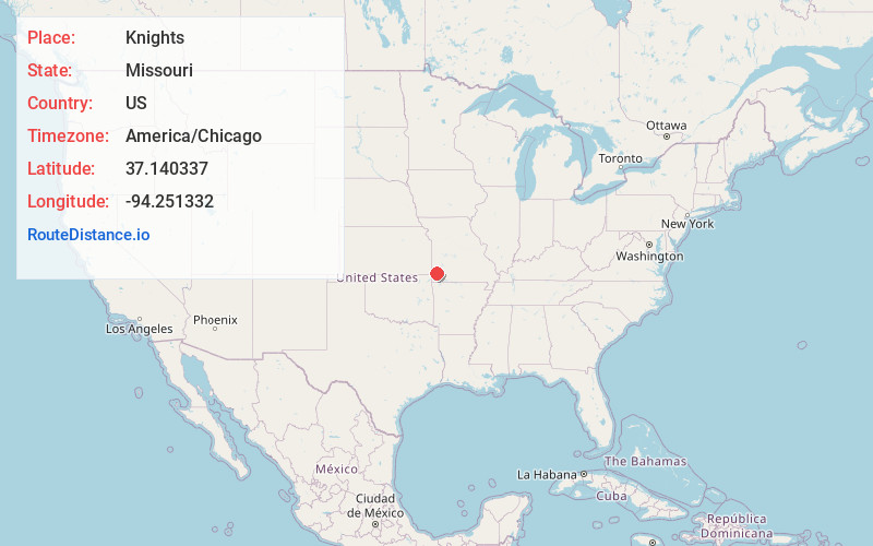
Full AddressKnights, Union Township, MO 64836
-
Coordinates37.140337, -94.2513318
-
LocationUnion Township , Missouri , US
-
TimezoneAmerica/Chicago
-
Current Local Time9:05:45 PM America/ChicagoMonday, June 23, 2025
-
Page Views0
Nearby Places
Found 10 places within 50 miles

Carthage
4.1 mi
6.6 km
Carthage, MO 64836
Get directions

Reeds
5.0 mi
8.0 km
Reeds, MO 64859
Get directions
Fidelity
6.0 mi
9.7 km
Fidelity, MO 64836
Get directions
Brooklyn Heights
7.7 mi
12.4 km
Brooklyn Heights, MO 64836
Get directions
Avilla
7.7 mi
12.4 km
Avilla, MO
Get directions
Sarcoxie
8.9 mi
14.3 km
Sarcoxie, MO 64862
Get directions
Carytown
9.3 mi
15.0 km
Carytown, MO 64836
Get directions
Duenweg
9.8 mi
15.8 km
Duenweg, MO
Get directions

La Russell
10.5 mi
16.9 km
La Russell, MO 64848
Get directions

Carterville
10.6 mi
17.1 km
Carterville, MO 64835
Get directions
Location Links
Local Weather
Weather Information
Coming soon!
Location Map
Static map view of Knights, Missouri
Browse Places by Distance
Places within specific distances from Knights
Short Distances
Long Distances
Click any distance to see all places within that range from Knights. Distances shown in miles (1 mile ≈ 1.61 kilometers).