Distance to Sarcoxie, Missouri

Calculating Your Route
Just a moment while we process your request...
Location Information
-
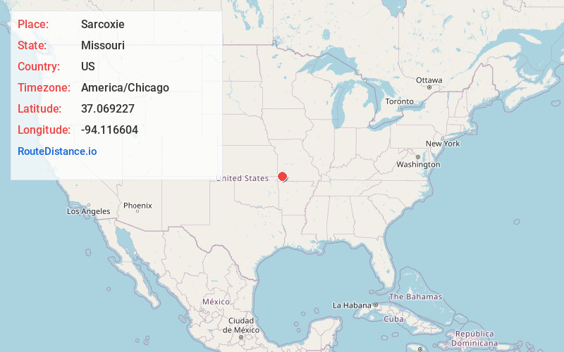
Full AddressSarcoxie, MO 64862
-
Coordinates37.0692266, -94.1166043
-
LocationSarcoxie , Missouri , US
-
TimezoneAmerica/Chicago
-
Current Local Time11:04:38 AM America/ChicagoTuesday, June 24, 2025
-
Page Views0
About Sarcoxie
Sarcoxie is a city in Jasper County, Missouri, United States. The population was 1,406 at the 2020 census. It is part of the Joplin, Missouri Metropolitan Statistical Area.
Nearby Places
Found 10 places within 50 miles

Granby
12.9 mi
20.8 km
Granby, MO 64844
Get directions

Carthage
13.0 mi
20.9 km
Carthage, MO 64836
Get directions

Monett
14.7 mi
23.7 km
Monett, MO
Get directions

Duenweg
16.4 mi
26.4 km
Duenweg, MO
Get directions

Mt Vernon
16.6 mi
26.7 km
Mt Vernon, MO 65712
Get directions

Carterville
18.8 mi
30.3 km
Carterville, MO 64835
Get directions
Duquesne
18.9 mi
30.4 km
Duquesne, MO
Get directions

Neosho
19.6 mi
31.5 km
Neosho, MO 64850
Get directions

Webb City
19.8 mi
31.9 km
Webb City, MO
Get directions

Oronogo
21.2 mi
34.1 km
Oronogo, MO
Get directions
Location Links
Local Weather
Weather Information
Coming soon!
Location Map
Static map view of Sarcoxie, Missouri
Browse Places by Distance
Places within specific distances from Sarcoxie
Short Distances
Long Distances
Click any distance to see all places within that range from Sarcoxie. Distances shown in miles (1 mile ≈ 1.61 kilometers).