Distance to Kenel, South Dakota

Calculating Your Route
Just a moment while we process your request...
Location Information
-
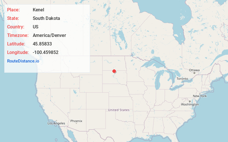
Full AddressKenel, SD
-
Coordinates45.8583301, -100.4598519
-
LocationKenel , South Dakota , US
-
TimezoneAmerica/Denver
-
Current Local Time12:54:46 AM America/DenverSunday, June 1, 2025
-
Page Views0
Nearby Places
Found 10 places within 50 miles

Pollock
8.8 mi
14.2 km
Pollock, SD 57648
Get directions

Wakpala
14.4 mi
23.2 km
Wakpala, SD 57658
Get directions

McLaughlin
17.1 mi
27.5 km
McLaughlin, SD 57642
Get directions

Herreid
18.9 mi
30.4 km
Herreid, SD 57632
Get directions
Little Eagle
20.2 mi
32.5 km
Little Eagle, SD 57639
Get directions

Mobridge
22.2 mi
35.7 km
Mobridge, SD 57601
Get directions

Strasburg
23.8 mi
38.3 km
Strasburg, ND 58573
Get directions

Selfridge
25.7 mi
41.4 km
Selfridge, ND
Get directions

Linton
30.2 mi
48.6 km
Linton, ND 58552
Get directions

Bullhead
30.6 mi
49.2 km
Bullhead, SD 57621
Get directions
Location Links
Local Weather
Weather Information
Coming soon!
Location Map
Static map view of Kenel, South Dakota
Browse Places by Distance
Places within specific distances from Kenel
Short Distances
Long Distances
Click any distance to see all places within that range from Kenel. Distances shown in miles (1 mile ≈ 1.61 kilometers).