Distance to Kennebunkport, Maine

Calculating Your Route
Just a moment while we process your request...
Location Information
-
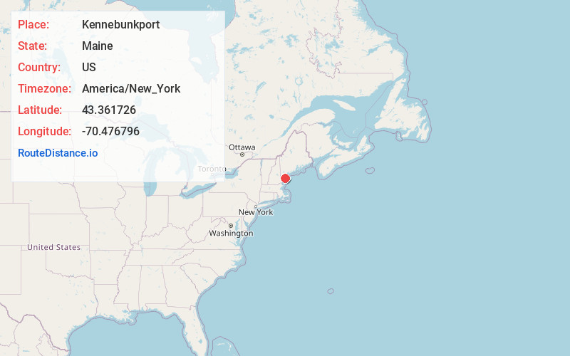
Full AddressKennebunkport, ME
-
Coordinates43.3617264, -70.4767957
-
LocationKennebunkport , Maine , US
-
TimezoneAmerica/New_York
-
Current Local Time3:41:27 PM America/New_YorkWednesday, May 28, 2025
-
Page Views0
About Kennebunkport
Kennebunkport is a coastal town in southern Maine. It’s known for its beaches, including long, sandy Goose Rocks Beach and smaller Arundel Beach. The Seashore Trolley Museum displays a huge collection of streetcars. Dating to 1887, St. Ann’s Episcopal Church is a rustic stone church on grassy grounds with ocean views. The 1833 Goat Island Lighthouse sits in the harbor of quaint lobster-fishing village Cape Porpoise.


Nearby Places
Found 10 places within 50 miles

Biddeford
9.1 mi
14.6 km
Biddeford, ME
Get directions

Saco
9.8 mi
15.8 km
Saco, ME
Get directions

Sanford
15.9 mi
25.6 km
Sanford, ME
Get directions

York
16.3 mi
26.2 km
York, ME
Get directions

Scarborough
17.3 mi
27.8 km
Scarborough, ME
Get directions

Gorham
22.0 mi
35.4 km
Gorham, ME
Get directions

Westbrook
22.4 mi
36.0 km
Westbrook, ME 04092
Get directions

South Portland
22.7 mi
36.5 km
South Portland, ME
Get directions

Dover
23.0 mi
37.0 km
Dover, NH 03820
Get directions

Portland
23.4 mi
37.7 km
Portland, ME
Get directions
Location Links
Local Weather
Weather Information
Coming soon!
Location Map
Static map view of Kennebunkport, Maine
Browse Places by Distance
Places within specific distances from Kennebunkport
Short Distances
Long Distances
Click any distance to see all places within that range from Kennebunkport. Distances shown in miles (1 mile ≈ 1.61 kilometers).