Distance to Kennedyville, South Dakota

Calculating Your Route
Just a moment while we process your request...
Location Information
-
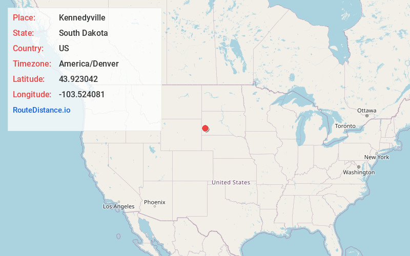
Full AddressKennedyville, West Pennington, SD 57745
-
Coordinates43.9230423, -103.5240807
-
LocationWest Pennington , South Dakota , US
-
TimezoneAmerica/Denver
-
Current Local Time7:09:00 AM America/DenverSaturday, May 31, 2025
-
Page Views0
About Kennedyville
Addie Camp, also known as Kennedyville, Addie Spur, or Canadaville, is a ghost town located in Pennington County, South Dakota, United States. It was a mining camp in the Black Hills that was active from the early 1880s until the 1910s.
Nearby Places
Found 10 places within 50 miles

Hill City
2.6 mi
4.2 km
Hill City, SD
Get directions

Keystone
5.6 mi
9.0 km
Keystone, SD 57751
Get directions

Oreville
6.2 mi
10.0 km
Oreville, West Pennington, SD 57730
Get directions
Tigerville
6.9 mi
11.1 km
Tigerville, West Pennington, SD 57745
Get directions
Harney
7.1 mi
11.4 km
Harney, Mt Rushmore, SD 57751
Get directions
Redfern
8.1 mi
13.0 km
Redfern, West Pennington, SD 57745
Get directions

Rockerville
8.6 mi
13.8 km
Rockerville, SD 57702
Get directions
Spokane
9.1 mi
14.6 km
Spokane, East Custer, SD 57744
Get directions
Berne
9.3 mi
15.0 km
Berne, West Custer, SD 57730
Get directions
Vestal Springs
10.4 mi
16.7 km
Vestal Springs, West Custer, SD 57730
Get directions
Location Links
Local Weather
Weather Information
Coming soon!
Location Map
Static map view of Kennedyville, South Dakota
Browse Places by Distance
Places within specific distances from Kennedyville
Short Distances
Long Distances
Click any distance to see all places within that range from Kennedyville. Distances shown in miles (1 mile ≈ 1.61 kilometers).