Distance to Kensal, North Dakota

Calculating Your Route
Just a moment while we process your request...
Location Information
-
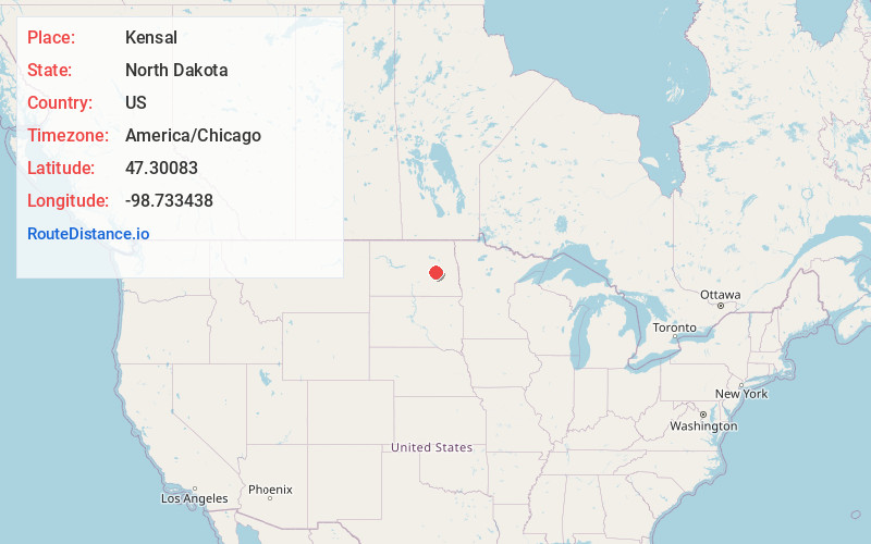
Full AddressKensal, ND 58455
-
Coordinates47.3008296, -98.7334376
-
LocationKensal , North Dakota , US
-
TimezoneAmerica/Chicago
-
Current Local Time10:41:45 AM America/ChicagoSaturday, May 31, 2025
-
Page Views0
About Kensal
Kensal is a city in Stutsman County, North Dakota, United States. The population was 146 at the 2020 census. Kensal was founded in 1892.
It is the location of, or nearest community to, the Cecil Baker Round Barn, which was built in 1921 and is listed on the National Register of Historic Places.
Nearby Places
Found 10 places within 50 miles

Carrington
21.1 mi
34.0 km
Carrington, ND 58421
Get directions

Jamestown
27.0 mi
43.5 km
Jamestown, ND
Get directions

Cooperstown
30.2 mi
48.6 km
Cooperstown, ND 58425
Get directions

New Rockford
32.3 mi
52.0 km
New Rockford, ND 58356
Get directions

McVille
41.2 mi
66.3 km
McVille, ND 58254
Get directions

Valley City
43.1 mi
69.4 km
Valley City, ND 58072
Get directions
Finley
44.5 mi
71.6 km
Finley, ND 58230
Get directions

Hope
47.4 mi
76.3 km
Hope, ND 58046
Get directions

Fessenden
48.3 mi
77.7 km
Fessenden, ND 58438
Get directions

Fort Totten
48.5 mi
78.1 km
Fort Totten, ND
Get directions
Location Links
Local Weather
Weather Information
Coming soon!
Location Map
Static map view of Kensal, North Dakota
Browse Places by Distance
Places within specific distances from Kensal
Short Distances
Long Distances
Click any distance to see all places within that range from Kensal. Distances shown in miles (1 mile ≈ 1.61 kilometers).