Distance to Kensington, Kansas

Calculating Your Route
Just a moment while we process your request...
Location Information
-
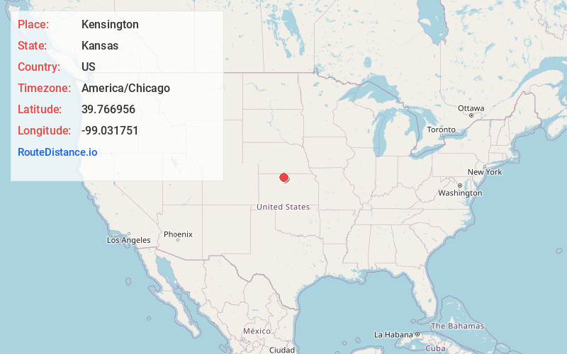
Full AddressKensington, KS 66951
-
Coordinates39.7669559, -99.0317506
-
LocationKensington , Kansas , US
-
TimezoneAmerica/Chicago
-
Current Local Time4:15:02 PM America/ChicagoThursday, June 19, 2025
-
Website
-
Page Views0
About Kensington
Kensington is a city in Smith County, Kansas, United States. As of the 2020 census, the population of the city was 399.
Nearby Places
Found 10 places within 50 miles

Smith Center
13.1 mi
21.1 km
Smith Center, KS 66967
Get directions

Phillipsburg
15.5 mi
24.9 km
Phillipsburg, KS 67661
Get directions

Franklin
23.1 mi
37.2 km
Franklin, NE 68939
Get directions

Stockton
25.9 mi
41.7 km
Stockton, KS 67669
Get directions

Alma
28.8 mi
46.3 km
Alma, NE 68920
Get directions

Osborne
28.9 mi
46.5 km
Osborne, KS 67473
Get directions
Logan
29.5 mi
47.5 km
Logan, KS 67646
Get directions

Downs
32.0 mi
51.5 km
Downs, KS 67437
Get directions

Red Cloud
35.1 mi
56.5 km
Red Cloud, NE 68970
Get directions

Plainville
39.4 mi
63.4 km
Plainville, KS 67663
Get directions
Location Links
Local Weather
Weather Information
Coming soon!
Location Map
Static map view of Kensington, Kansas
Browse Places by Distance
Places within specific distances from Kensington
Short Distances
Long Distances
Click any distance to see all places within that range from Kensington. Distances shown in miles (1 mile ≈ 1.61 kilometers).