Distance to Kent, Indiana

Calculating Your Route
Just a moment while we process your request...
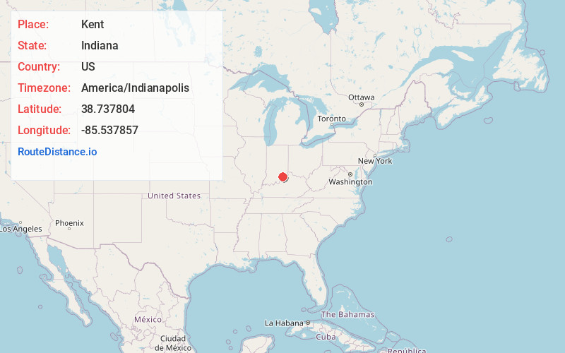
Location Information
-
Full AddressKent, IN
-
Coordinates38.7378039, -85.537857
-
LocationKent , Indiana , US
-
TimezoneAmerica/Indianapolis
-
Page Views0
About Kent
Kent is an unincorporated community and census-designated place in Republican Township, Jefferson County, Indiana, United States. As of the 2010 census it had a population of 70.
Nearby Places
Found 10 places within 50 miles

Hanover
3.8 mi
6.1 km
Hanover, IN 47243
Get directions

Blocher
6.5 mi
10.5 km
Blocher, IN 47138
Get directions

Deputy
7.3 mi
11.7 km
Deputy, IN 47230
Get directions

Madison
8.5 mi
13.7 km
Madison, IN
Get directions

Paris Crossing
8.7 mi
14.0 km
Paris Crossing, IN
Get directions

Milton
9.1 mi
14.6 km
Milton, KY 40045
Get directions

Commiskey
10.2 mi
16.4 km
Commiskey, IN 47227
Get directions

Dupont
10.6 mi
17.1 km
Dupont, IN 47231
Get directions
New Washington
12.1 mi
19.5 km
New Washington, IN
Get directions

Scottsburg
13.0 mi
20.9 km
Scottsburg, IN 47170
Get directions
Location Links
Local Weather
Weather Information
Coming soon!
Location Map
Static map view of Kent, Indiana
Browse Places by Distance
Places within specific distances from Kent
Short Distances
Long Distances
Click any distance to see all places within that range from Kent. Distances shown in miles (1 mile ≈ 1.61 kilometers).