Distance to Madison, Indiana

Calculating Your Route
Just a moment while we process your request...
Location Information
-
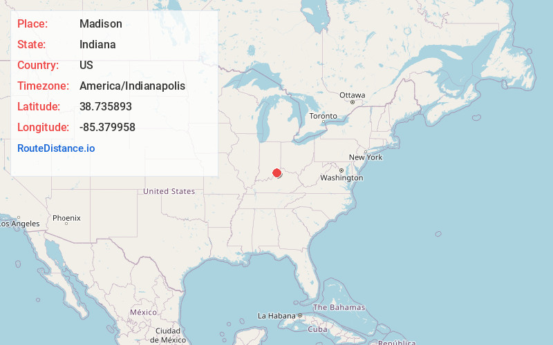
Full AddressMadison, IN
-
Coordinates38.7358933, -85.3799577
-
LocationMadison , Indiana , US
-
TimezoneAmerica/Indianapolis
-
Page Views0
About Madison
Madison is a city in and the county seat of Jefferson County, Indiana, United States, along the Ohio River. As of the 2010 United States Census its population was 11,967. Over 55,000 people live within 15 miles of downtown Madison. Madison is the largest city along the Ohio River between Louisville and Cincinnati.


Nearby Places
Found 10 places within 50 miles

Seymour
31.5 mi
50.7 km
Seymour, IN 47274
Get directions

Clarksville
36.6 mi
58.9 km
Clarksville, IN
Get directions

St Matthews
36.7 mi
59.1 km
St Matthews, KY
Get directions

Jeffersonville
37.1 mi
59.7 km
Jeffersonville, IN
Get directions

Shelbyville
37.3 mi
60.0 km
Shelbyville, KY 40065
Get directions

Jeffersontown
38.7 mi
62.3 km
Jeffersontown, KY
Get directions

New Albany
39.3 mi
63.2 km
New Albany, IN 47150
Get directions

Louisville
39.7 mi
63.9 km
Louisville, KY
Get directions

Burlington
40.6 mi
65.3 km
Burlington, KY 41005
Get directions

Columbus
43.4 mi
69.8 km
Columbus, IN
Get directions
Location Links
Local Weather
Weather Information
Coming soon!
Location Map
Static map view of Madison, Indiana
Browse Places by Distance
Places within specific distances from Madison
Short Distances
Long Distances
Click any distance to see all places within that range from Madison. Distances shown in miles (1 mile ≈ 1.61 kilometers).