Distance to Kenton Vale, Kentucky

Calculating Your Route
Just a moment while we process your request...
Location Information
-
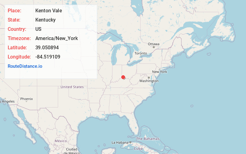
Full AddressKenton Vale, KY
-
Coordinates39.0508939, -84.5191093
-
LocationKenton Vale , Kentucky , US
-
TimezoneAmerica/New_York
-
Current Local Time5:34:36 AM America/New_YorkFriday, June 13, 2025
-
Page Views0
About Kenton Vale
Kenton Vale is a home rule-class city in Kenton County, Kentucky, in the United States. The population was 105 at the 2020 census.
Kenton Vale consists of only one subdivision and a cemetery branching off Madison Pike.
Nearby Places
Found 10 places within 50 miles

Fort Wright
0.9 mi
1.4 km
Fort Wright, KY
Get directions

Park Hills
1.6 mi
2.6 km
Park Hills, KY 41011
Get directions

Fort Mitchell
2.2 mi
3.5 km
Fort Mitchell, KY
Get directions

Covington
2.3 mi
3.7 km
Covington, KY
Get directions

Wilder
2.8 mi
4.5 km
Wilder, KY
Get directions

Lakeside Park
2.9 mi
4.7 km
Lakeside Park, KY 41017
Get directions
Southgate
2.9 mi
4.7 km
Southgate, KY
Get directions

Newport
3.1 mi
5.0 km
Newport, KY
Get directions

Bromley
3.1 mi
5.0 km
Bromley, KY
Get directions
Crescent Springs
3.1 mi
5.0 km
Crescent Springs, KY 41017
Get directions
Location Links
Local Weather
Weather Information
Coming soon!
Location Map
Static map view of Kenton Vale, Kentucky
Browse Places by Distance
Places within specific distances from Kenton Vale
Short Distances
Long Distances
Click any distance to see all places within that range from Kenton Vale. Distances shown in miles (1 mile ≈ 1.61 kilometers).