Distance to Kenvil, New Jersey

Calculating Your Route
Just a moment while we process your request...
Location Information
-
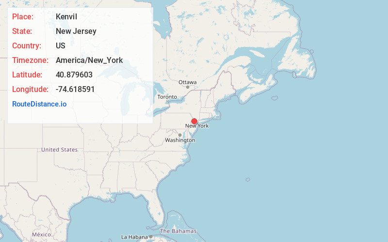
Full AddressKenvil, Roxbury Township, NJ
-
Coordinates40.8796025, -74.6185913
-
NeighborhoodKenvil
-
LocationRoxbury Township , New Jersey , US
-
TimezoneAmerica/New_York
-
Current Local Time5:20:57 AM America/New_YorkWednesday, June 18, 2025
-
Page Views0
About Kenvil
Kenvil is an unincorporated community and census-designated place located within Roxbury Township, in Morris County, in the U.S. state of New Jersey. As of the 2020 census, it had a population of 1,806.
Nearby Places
Found 10 places within 50 miles

Mine Hill Township
0.9 mi
1.4 km
Mine Hill Township, NJ
Get directions

Roxbury Township
1.5 mi
2.4 km
Roxbury Township, NJ
Get directions

Randolph
2.0 mi
3.2 km
Randolph, NJ
Get directions

Wharton
2.3 mi
3.7 km
Wharton, NJ
Get directions

Dover
3.3 mi
5.3 km
Dover, NJ
Get directions

Mt Arlington
3.4 mi
5.5 km
Mt Arlington, NJ
Get directions

Victory Gardens
4.1 mi
6.6 km
Victory Gardens, NJ 07801
Get directions

Hopatcong
4.3 mi
6.9 km
Hopatcong, NJ
Get directions

Netcong
4.5 mi
7.2 km
Netcong, NJ
Get directions

Lake Hopatcong
4.9 mi
7.9 km
Lake Hopatcong, New Jersey
Get directions
Location Links
Local Weather
Weather Information
Coming soon!
Location Map
Static map view of Kenvil, New Jersey
Browse Places by Distance
Places within specific distances from Kenvil
Short Distances
Long Distances
Click any distance to see all places within that range from Kenvil. Distances shown in miles (1 mile ≈ 1.61 kilometers).