Distance to Kenyon, Arkansas

Calculating Your Route
Just a moment while we process your request...
Location Information
-
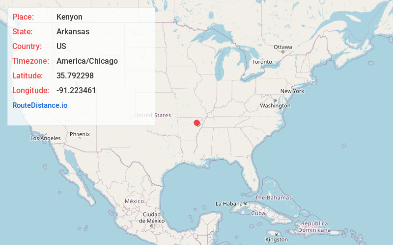
Full AddressKenyon, AR 72471
-
Coordinates35.7922982, -91.2234612
-
LocationArkansas , US
-
TimezoneAmerica/Chicago
-
Current Local Time6:25:13 AM America/ChicagoSunday, June 22, 2025
-
Page Views0
Nearby Places
Found 10 places within 50 miles

Lockheart
3.3 mi
5.3 km
Lockheart, AR 72572
Get directions
Vance
3.5 mi
5.6 km
Vance, AR 72471
Get directions
Elgin
4.3 mi
6.9 km
Elgin, AR 72112
Get directions
Tuckerman
4.4 mi
7.1 km
Tuckerman, AR 72473
Get directions

Swifton
5.7 mi
9.2 km
Swifton, AR 72471
Get directions
Dowdy
6.1 mi
9.8 km
Dowdy, AR 72524
Get directions
Cord
6.9 mi
11.1 km
Cord, AR 72524
Get directions
Dota
8.7 mi
14.0 km
Dota, AR 72562
Get directions
Campbell Station
8.8 mi
14.2 km
Campbell Station, AR
Get directions
Saffell
9.6 mi
15.4 km
Saffell, AR 72572
Get directions
Location Links
Local Weather
Weather Information
Coming soon!
Location Map
Static map view of Kenyon, Arkansas
Browse Places by Distance
Places within specific distances from Kenyon
Short Distances
Long Distances
Click any distance to see all places within that range from Kenyon. Distances shown in miles (1 mile ≈ 1.61 kilometers).