Distance to Keokuk Falls, Oklahoma

Calculating Your Route
Just a moment while we process your request...
Location Information
-
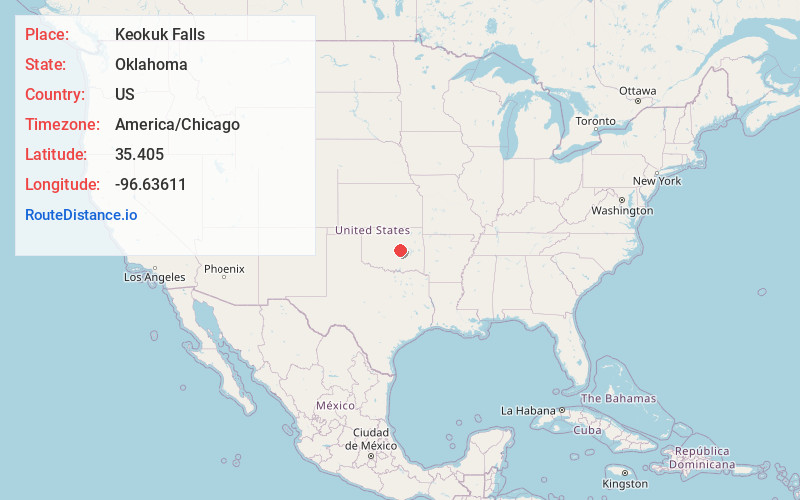
Full AddressKeokuk Falls, OK 74864
-
Coordinates35.405, -96.63611
-
LocationKeokuk Falls , Oklahoma , US
-
TimezoneAmerica/Chicago
-
Current Local Time8:14:44 AM America/ChicagoSaturday, June 21, 2025
-
Page Views0
About Keokuk Falls
Keokuk Falls is a ghost town in Pottawatomie County, Oklahoma. The location is 4.5 miles north and 15 miles east of Shawnee, as well as one mile west of the Creek Nation and one mile north of the Seminole Nation across the North Canadian River. It was named after Chief Moses Keokuk.
Nearby Places
Found 10 places within 50 miles

Sylvian
5.6 mi
9.0 km
Sylvian, OK 74868
Get directions

Prague
6.3 mi
10.1 km
Prague, OK
Get directions

Paden
8.1 mi
13.0 km
Paden, OK 74860
Get directions

Boley
10.5 mi
16.9 km
Boley, OK 74829
Get directions
Cromwell
11.0 mi
17.7 km
Cromwell, OK
Get directions
Johnson
11.6 mi
18.7 km
Johnson, OK 74804
Get directions

Arlington
12.3 mi
19.8 km
Arlington, OK 74864
Get directions

Seminole
12.6 mi
20.3 km
Seminole, OK
Get directions

Earlsboro
13.4 mi
21.6 km
Earlsboro, OK
Get directions
Pleasant Grove
13.7 mi
22.0 km
Pleasant Grove, OK 74868
Get directions
Location Links
Local Weather
Weather Information
Coming soon!
Location Map
Static map view of Keokuk Falls, Oklahoma
Browse Places by Distance
Places within specific distances from Keokuk Falls
Short Distances
Long Distances
Click any distance to see all places within that range from Keokuk Falls. Distances shown in miles (1 mile ≈ 1.61 kilometers).