Distance to Kernstown, Virginia

Calculating Your Route
Just a moment while we process your request...
Location Information
-
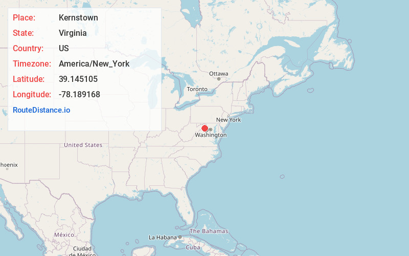
Full AddressKernstown, Winchester, VA 22601
-
Coordinates39.1451051, -78.1891676
-
LocationWinchester , Virginia , US
-
TimezoneAmerica/New_York
-
Current Local Time9:27:23 AM America/New_YorkWednesday, June 4, 2025
-
Page Views0
About Kernstown
Kernstown is an unincorporated community within the independent city of Winchester, Virginia. Parts of Kernstown also lie within Frederick County. It is centered along the Valley Pike U.S. Route 11. During the American Civil War, the first and second Battles of Kernstown were fought here.
Nearby Places
Found 10 places within 50 miles

College Park
2.4 mi
3.9 km
College Park, VA 22602
Get directions

Bartonsville
2.6 mi
4.2 km
Bartonsville, VA 22602
Get directions

Winchester
3.1 mi
5.0 km
Winchester, VA 22601
Get directions
Parkins Mills
3.1 mi
5.0 km
Parkins Mills, VA 22602
Get directions
Opequon
3.2 mi
5.1 km
Opequon, VA 22602
Get directions
Greenwood Heights
4.1 mi
6.6 km
Greenwood Heights, VA 22602
Get directions
Sunnyside
4.3 mi
6.9 km
Sunnyside, VA 22603
Get directions

Stephens City
4.5 mi
7.2 km
Stephens City, VA
Get directions
Shenandoah Hills
4.7 mi
7.6 km
Shenandoah Hills, VA 22602
Get directions
Burning Knolls
4.7 mi
7.6 km
Burning Knolls, VA 22602
Get directions
Location Links
Local Weather
Weather Information
Coming soon!
Location Map
Static map view of Kernstown, Virginia
Browse Places by Distance
Places within specific distances from Kernstown
Short Distances
Long Distances
Click any distance to see all places within that range from Kernstown. Distances shown in miles (1 mile ≈ 1.61 kilometers).