Distance to Kessler, Louisiana

Calculating Your Route
Just a moment while we process your request...
Location Information
-
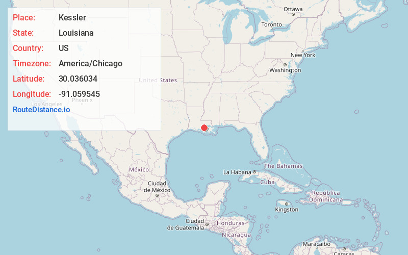
Full AddressKessler, LA 70341
-
Coordinates30.0360336, -91.059545
-
LocationLouisiana , US
-
TimezoneAmerica/Chicago
-
Current Local Time2:16:05 PM America/ChicagoWednesday, June 18, 2025
-
Page Views0
Nearby Places
Found 10 places within 50 miles

Belle Rose
1.5 mi
2.4 km
Belle Rose, LA
Get directions

Paincourtville
3.2 mi
5.1 km
Paincourtville, LA
Get directions
Plaincourtville
3.2 mi
5.1 km
Plaincourtville, Paincourtville, LA 70390
Get directions
Barton
3.5 mi
5.6 km
Barton, LA 70346
Get directions
Palo Alto
4.1 mi
6.6 km
Palo Alto, LA 70346
Get directions
Church Spur
4.5 mi
7.2 km
Church Spur, Plattenville, LA 70390
Get directions
Smoke Bend
5.5 mi
8.9 km
Smoke Bend, LA 70346
Get directions
Bayou Corne
5.6 mi
9.0 km
Bayou Corne, Louisiana 70341
Get directions

Donaldsonville
6.0 mi
9.7 km
Donaldsonville, LA 70346
Get directions
Noel
6.6 mi
10.6 km
Noel, LA 70346
Get directions
Location Links
Local Weather
Weather Information
Coming soon!
Location Map
Static map view of Kessler, Louisiana
Browse Places by Distance
Places within specific distances from Kessler
Short Distances
Long Distances
Click any distance to see all places within that range from Kessler. Distances shown in miles (1 mile ≈ 1.61 kilometers).