Distance to Kettle Island, Kentucky

Calculating Your Route
Just a moment while we process your request...
Location Information
-
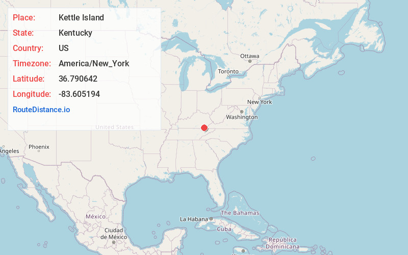
Full AddressKettle Island, KY 40958
-
Coordinates36.7906417, -83.6051935
-
LocationKettle Island , Kentucky , US
-
TimezoneAmerica/New_York
-
Current Local Time5:47:12 AM America/New_YorkMonday, June 2, 2025
-
Page Views0
About Kettle Island
Kettle Island is an unincorporated community and coal town in Bell County, Kentucky, United States. Kettle Island is located on Kentucky Route 1630 near Kentucky Route 221, 5.35 miles east-northeast of Pineville. Kettle Island has a post office with ZIP code 40958, which opened on March 15, 1912.
Nearby Places
Found 10 places within 50 miles

Jenson
1.7 mi
2.7 km
Jenson, KY 40977
Get directions

Arjay
2.4 mi
3.9 km
Arjay, KY 40902
Get directions
Rella
3.4 mi
5.5 km
Rella, KY 40902
Get directions
Varilla
3.5 mi
5.6 km
Varilla, KY 40813
Get directions
Straight Creek
3.7 mi
6.0 km
Straight Creek, KY 40977
Get directions
Cardinal
5.2 mi
8.4 km
Cardinal, KY 40845
Get directions

Pineville
5.3 mi
8.5 km
Pineville, KY 40977
Get directions
Tuggleville
5.7 mi
9.2 km
Tuggleville, KY 40845
Get directions
Molus
6.5 mi
10.5 km
Molus, KY 40819
Get directions

Fourmile
7.6 mi
12.2 km
Fourmile, KY 40939
Get directions
Location Links
Local Weather
Weather Information
Coming soon!
Location Map
Static map view of Kettle Island, Kentucky
Browse Places by Distance
Places within specific distances from Kettle Island
Short Distances
Long Distances
Click any distance to see all places within that range from Kettle Island. Distances shown in miles (1 mile ≈ 1.61 kilometers).