Distance to Tuggleville, Kentucky

Calculating Your Route
Just a moment while we process your request...
Location Information
-
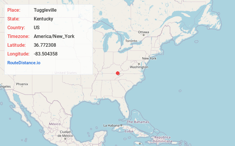
Full AddressTuggleville, KY 40845
-
Coordinates36.772308, -83.5043582
-
LocationKentucky , US
-
TimezoneAmerica/New_York
-
Current Local Time1:43:57 AM America/New_YorkThursday, May 29, 2025
-
Page Views0
About Tuggleville
Tuggleville is an unincorporated community located in Bell County, Kentucky, United States. The community is on Puckett Creek just north of Black Snake. Blackmont lies approximately two miles to the northwest on the Cumberland River.
Nearby Places
Found 10 places within 50 miles

Cardinal
2.1 mi
3.4 km
Cardinal, KY 40845
Get directions
Pathfork
2.5 mi
4.0 km
Pathfork, KY 40863
Get directions
Molus
2.9 mi
4.7 km
Molus, KY 40819
Get directions
Layman
4.5 mi
7.2 km
Layman, KY 40819
Get directions

Coldiron
4.7 mi
7.6 km
Coldiron, KY
Get directions
South Wallins
6.0 mi
9.7 km
South Wallins, KY 40873
Get directions
Twila
6.1 mi
9.8 km
Twila, KY 40873
Get directions

Wallins Creek
6.3 mi
10.1 km
Wallins Creek, KY 40873
Get directions
Jenson
7.0 mi
11.3 km
Jenson, KY 40977
Get directions

Arjay
8.1 mi
13.0 km
Arjay, KY 40902
Get directions
Location Links
Local Weather
Weather Information
Coming soon!
Location Map
Static map view of Tuggleville, Kentucky
Browse Places by Distance
Places within specific distances from Tuggleville
Short Distances
Long Distances
Click any distance to see all places within that range from Tuggleville. Distances shown in miles (1 mile ≈ 1.61 kilometers).