Distance to Kettle River, Minnesota

Calculating Your Route
Just a moment while we process your request...
Location Information
-
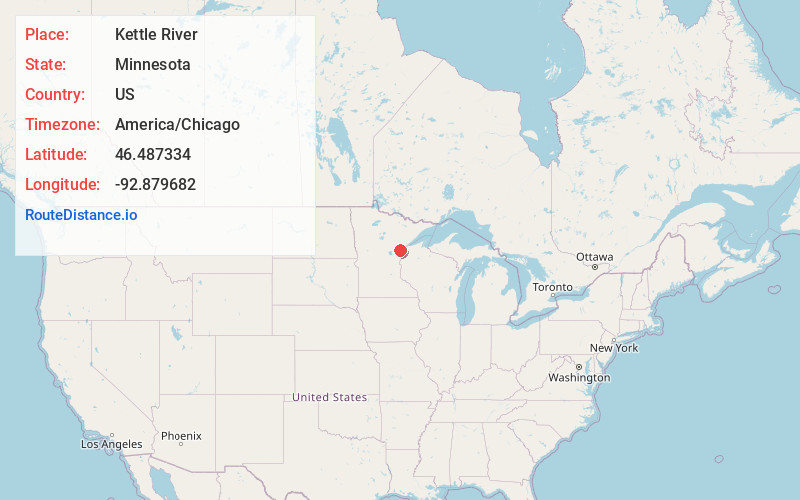
Full AddressKettle River, MN
-
Coordinates46.4873344, -92.8796819
-
LocationKettle River , Minnesota , US
-
TimezoneAmerica/Chicago
-
Current Local Time4:57:40 AM America/ChicagoMonday, June 2, 2025
-
Page Views0
About Kettle River
Kettle River is a city in Carlton County, Minnesota, along the Kettle River, for which it was named. The population was 180 at the time of the 2010 census. It was incorporated in 1921.
Minnesota State Highway 73 serves as a main route in Kettle River.


Nearby Places
Found 10 places within 50 miles

Moose Lake
5.9 mi
9.5 km
Moose Lake, MN 55767
Get directions

Sturgeon Lake
7.8 mi
12.6 km
Sturgeon Lake, MN 55783
Get directions

Barnum
9.2 mi
14.8 km
Barnum, MN 55707
Get directions

Willow River
11.8 mi
19.0 km
Willow River, MN 55795
Get directions

Mahtowa
13.2 mi
21.2 km
Mahtowa, MN
Get directions

Cromwell
13.4 mi
21.6 km
Cromwell, MN
Get directions
Rutledge
15.4 mi
24.8 km
Rutledge, MN
Get directions

Finlayson
19.8 mi
31.9 km
Finlayson, MN 55735
Get directions

Askov
21.2 mi
34.1 km
Askov, MN 55704
Get directions

McGregor
22.0 mi
35.4 km
McGregor, MN 55760
Get directions
Location Links
Local Weather
Weather Information
Coming soon!
Location Map
Static map view of Kettle River, Minnesota
Browse Places by Distance
Places within specific distances from Kettle River
Short Distances
Long Distances
Click any distance to see all places within that range from Kettle River. Distances shown in miles (1 mile ≈ 1.61 kilometers).