Distance to Kewanee, Missouri

Calculating Your Route
Just a moment while we process your request...
Location Information
-
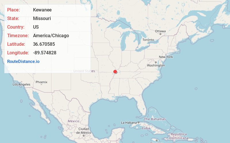
Full AddressKewanee, MO 63860
-
Coordinates36.6705852, -89.5748278
-
LocationKewanee , Missouri , US
-
TimezoneAmerica/Chicago
-
Current Local Time8:14:50 AM America/ChicagoMonday, June 23, 2025
-
Page Views0
About Kewanee
Kewanee is an unincorporated community in New Madrid County, Missouri, United States. It is located approximately five miles north of New Madrid, and about one mile west of U.S. Routes 61/62.
Kewanee got its start in 1910 as a lumber company town.
Nearby Places
Found 10 places within 50 miles

La Forge
2.7 mi
4.3 km
La Forge, New Madrid Township, MO 63869
Get directions
Noxall
3.6 mi
5.8 km
Noxall, Big Prairie Township, MO 63867
Get directions
North Lilbourn
5.4 mi
8.7 km
North Lilbourn, MO 63862
Get directions
Lilbourn
5.9 mi
9.5 km
Lilbourn, MO 63862
Get directions
Matthews
6.2 mi
10.0 km
Matthews, MO 63867
Get directions
Big Ridge
6.3 mi
10.1 km
Big Ridge, West Township, MO 63867
Get directions

New Madrid
6.4 mi
10.3 km
New Madrid, MO
Get directions
Howardville
7.2 mi
11.6 km
Howardville, MO 63869
Get directions
Catron
8.2 mi
13.2 km
Catron, MO 63833
Get directions

Canalou
8.5 mi
13.7 km
Canalou, MO
Get directions
Location Links
Local Weather
Weather Information
Coming soon!
Location Map
Static map view of Kewanee, Missouri
Browse Places by Distance
Places within specific distances from Kewanee
Short Distances
Long Distances
Click any distance to see all places within that range from Kewanee. Distances shown in miles (1 mile ≈ 1.61 kilometers).