Distance to Matthews, Missouri
Location Information
-
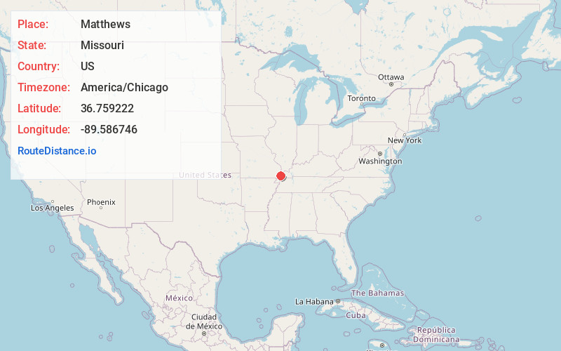
Full AddressMatthews, MO 63867
-
Coordinates36.7592218, -89.5867458
-
LocationMatthews , Missouri , US
-
TimezoneAmerica/Chicago
-
Current Local Time12:46:21 AM America/ChicagoSaturday, May 17, 2025
-
Page Views0
About Matthews
Matthews is a city in New Madrid County, Missouri, United States. The population was 628 at the 2010 census.
Nearby Places
Found 10 places within 50 miles

Sikeston
8.1 mi
13.0 km
Sikeston, MO 63801
Get directions

Morehouse
8.2 mi
13.2 km
Morehouse, MO
Get directions

Miner
9.5 mi
15.3 km
Miner, MO 63801
Get directions

East Prairie
11.2 mi
18.0 km
East Prairie, MO 63845
Get directions
Lilbourn
11.6 mi
18.7 km
Lilbourn, MO 63862
Get directions

New Madrid
12.4 mi
20.0 km
New Madrid, MO
Get directions

Bertrand
12.8 mi
20.6 km
Bertrand, MO 63823
Get directions

Charleston
17.2 mi
27.7 km
Charleston, MO 63834
Get directions

Morley
19.7 mi
31.7 km
Morley, MO
Get directions

Dexter
20.7 mi
33.3 km
Dexter, MO 63841
Get directions
Location Links
Local Weather
Weather Information
Coming soon!
Location Map
Static map view of Matthews, Missouri
Browse Places by Distance
Places within specific distances from Matthews
Short Distances
Long Distances
Click any distance to see all places within that range from Matthews. Distances shown in miles (1 mile ≈ 1.61 kilometers).