Distance to Keystone, California

Calculating Your Route
Just a moment while we process your request...
Location Information
-
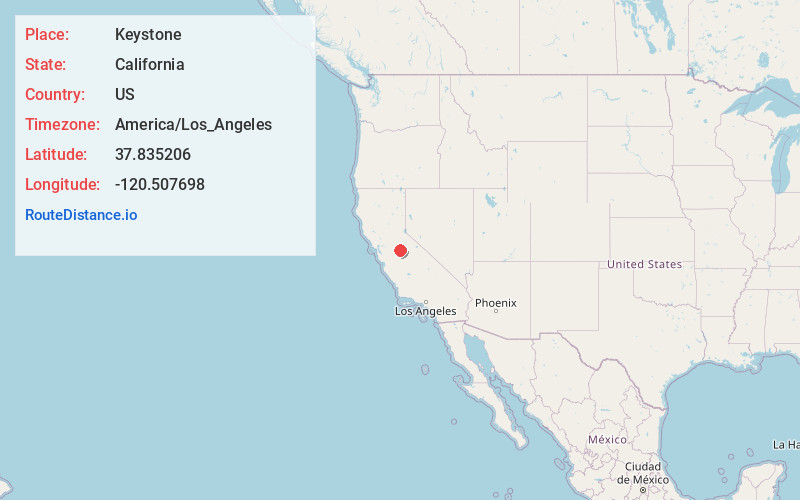
Full AddressKeystone, CA 95327
-
Coordinates37.8352057, -120.5076982
-
LocationKeystone , California , US
-
TimezoneAmerica/Los_Angeles
-
Current Local Time10:25:04 PM America/Los_AngelesSaturday, June 28, 2025
-
Page Views0
Nearby Places
Found 10 places within 50 miles

Chinese Camp
4.8 mi
7.7 km
Chinese Camp, CA 95327
Get directions

Cooperstown
6.7 mi
10.8 km
Cooperstown, CA 95327
Get directions

Stent
7.7 mi
12.4 km
Stent, CA 95327
Get directions

Warnerville
8.6 mi
13.8 km
Warnerville, CA 95386
Get directions

Knights Ferry
8.8 mi
14.2 km
Knights Ferry, CA 95361
Get directions
Rawhide
9.4 mi
15.1 km
Rawhide, CA 95327
Get directions

Jamestown
9.4 mi
15.1 km
Jamestown, CA
Get directions
Tuttletown
11.2 mi
18.0 km
Tuttletown, CA
Get directions

Moccasin
11.5 mi
18.5 km
Moccasin, CA
Get directions
Melones
12.1 mi
19.5 km
Melones, CA 95222
Get directions
Location Links
Local Weather
Weather Information
Coming soon!
Location Map
Static map view of Keystone, California
Browse Places by Distance
Places within specific distances from Keystone
Short Distances
Long Distances
Click any distance to see all places within that range from Keystone. Distances shown in miles (1 mile ≈ 1.61 kilometers).