Distance to Rawhide, California

Calculating Your Route
Just a moment while we process your request...
Location Information
-
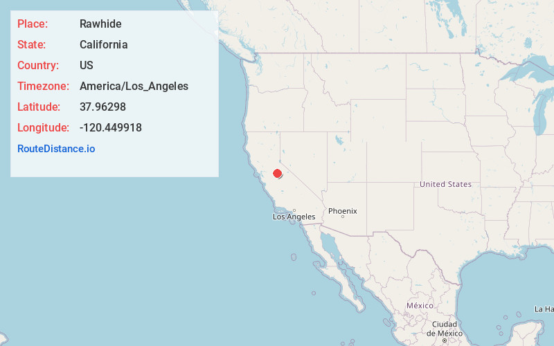
Full AddressRawhide, CA 95327
-
Coordinates37.9629804, -120.4499183
-
LocationRawhide , California , US
-
TimezoneAmerica/Los_Angeles
-
Current Local Time12:52:47 PM America/Los_AngelesThursday, June 19, 2025
-
Page Views0
Nearby Places
Found 10 places within 50 miles

Jamestown
1.6 mi
2.6 km
Jamestown, CA
Get directions

Tuttletown
1.8 mi
2.9 km
Tuttletown, CA
Get directions
Stent
3.7 mi
6.0 km
Stent, CA 95327
Get directions
Shaws Flat
3.8 mi
6.1 km
Shaws Flat, CA 95370
Get directions

Sonora
3.9 mi
6.3 km
Sonora, CA 95370
Get directions
Melones
4.1 mi
6.6 km
Melones, CA 95222
Get directions
Springfield
4.5 mi
7.2 km
Springfield, CA 95370
Get directions
East Sonora
4.9 mi
7.9 km
East Sonora, CA 95370
Get directions

Carson Hill
5.5 mi
8.9 km
Carson Hill, CA 95222
Get directions

Columbia
5.7 mi
9.2 km
Columbia, CA
Get directions
Location Links
Local Weather
Weather Information
Coming soon!
Location Map
Static map view of Rawhide, California
Browse Places by Distance
Places within specific distances from Rawhide
Short Distances
Long Distances
Click any distance to see all places within that range from Rawhide. Distances shown in miles (1 mile ≈ 1.61 kilometers).