Distance to Kilgore, Ohio

Calculating Your Route
Just a moment while we process your request...
Location Information
-
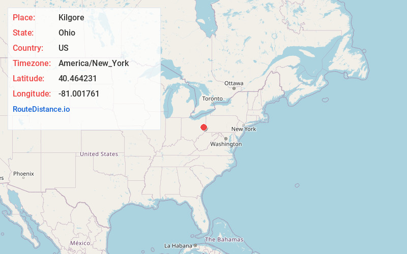
Full AddressKilgore, OH 43903
-
Coordinates40.4642311, -81.0017605
-
LocationKilgore , Ohio , US
-
TimezoneAmerica/New_York
-
Current Local Time7:21:17 PM America/New_YorkFriday, June 6, 2025
-
Page Views0
About Kilgore
Kilgore is an unincorporated community in Loudon Township, Carroll County, Ohio, United States. The community is part of the Canton–Massillon Metropolitan Statistical Area. The community is served by the Carrollton post office, ZIP code 44615. It lies at the intersection of State routes 9 and 164.
Nearby Places
Found 10 places within 50 miles

Harlem Springs
3.9 mi
6.3 km
Harlem Springs, OH 43903
Get directions

Amsterdam
4.2 mi
6.8 km
Amsterdam, OH 43903
Get directions
Germano
4.8 mi
7.7 km
Germano, German Township, OH 43986
Get directions
Wolf Run
5.9 mi
9.5 km
Wolf Run, OH 43903
Get directions
Apex
6.1 mi
9.8 km
Apex, OH 43976
Get directions
Toots Crossroads
6.2 mi
10.0 km
Toots Crossroads, Union Township, OH 44615
Get directions
Scio
6.4 mi
10.3 km
Scio, OH
Get directions
Jewett
6.7 mi
10.8 km
Jewett, OH 43986
Get directions

Bergholz
7.3 mi
11.7 km
Bergholz, OH 43908
Get directions
Pigtown
7.4 mi
11.9 km
Pigtown, Center Township, OH 44615
Get directions
Location Links
Local Weather
Weather Information
Coming soon!
Location Map
Static map view of Kilgore, Ohio
Browse Places by Distance
Places within specific distances from Kilgore
Short Distances
Long Distances
Click any distance to see all places within that range from Kilgore. Distances shown in miles (1 mile ≈ 1.61 kilometers).