Distance to Pigtown, Ohio

Calculating Your Route
Just a moment while we process your request...
Location Information
-
Full AddressPigtown, Center Township, OH 44615
-
Coordinates40.5636737, -81.0534292
-
LocationCenter Township , Ohio , US
-
TimezoneAmerica/New_York
-
Current Local Time3:12:30 PM America/New_YorkTuesday, June 24, 2025
-
Page Views0
Nearby Places
Found 10 places within 50 miles

Carrollton
1.8 mi
2.9 km
Carrollton, OH 44615
Get directions

Toots Crossroads
1.9 mi
3.1 km
Toots Crossroads, Union Township, OH 44615
Get directions
Harlem Springs
4.0 mi
6.4 km
Harlem Springs, OH 43903
Get directions
Scroggsfield
5.0 mi
8.0 km
Scroggsfield, OH 44615
Get directions
Tabor
5.3 mi
8.5 km
Tabor, Monroe Township, OH 44615
Get directions
Specht
6.2 mi
10.0 km
Specht, Augusta Township, OH 44651
Get directions
Hibbetts
6.2 mi
10.0 km
Hibbetts, OH 44615
Get directions
New Harrisburg
6.3 mi
10.1 km
New Harrisburg, OH 44615
Get directions
Wattsville
6.4 mi
10.3 km
Wattsville, Fox Township, OH 44615
Get directions

Mechanicstown
6.6 mi
10.6 km
Mechanicstown, OH 44651
Get directions
Location Links
Local Weather
Weather Information
Coming soon!
Location Map
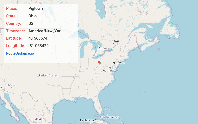
Static map view of Pigtown, Ohio
Browse Places by Distance
Places within specific distances from Pigtown
Short Distances
Long Distances
Click any distance to see all places within that range from Pigtown. Distances shown in miles (1 mile ≈ 1.61 kilometers).