Distance to Scroggsfield, Ohio

Calculating Your Route
Just a moment while we process your request...
Location Information
-
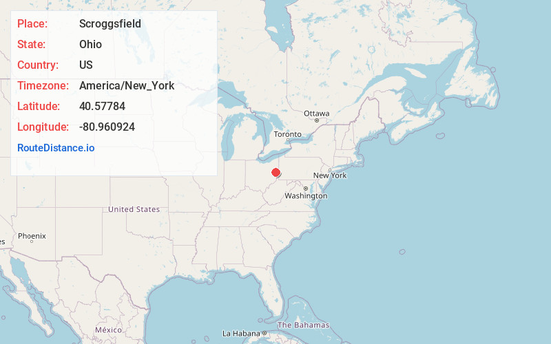
Full AddressScroggsfield, OH 44615
-
Coordinates40.5778403, -80.9609237
-
LocationScroggsfield , Ohio , US
-
TimezoneAmerica/New_York
-
Current Local Time11:20:28 PM America/New_YorkThursday, June 19, 2025
-
Page Views0
About Scroggsfield
Scroggsfield is an unincorporated community in Fox Township, Carroll County, Ohio, United States. The community is part of the Canton–Massillon Metropolitan Statistical Area. The community is served by the Carrollton, Ohio post office, ZIP code 44615.
Nearby Places
Found 10 places within 50 miles

Wattsville
1.5 mi
2.4 km
Wattsville, Fox Township, OH 44615
Get directions

Mechanicstown
2.9 mi
4.7 km
Mechanicstown, OH 44651
Get directions
Specht
5.6 mi
9.0 km
Specht, Augusta Township, OH 44651
Get directions

Bergholz
5.7 mi
9.2 km
Bergholz, OH 43908
Get directions
Toots Crossroads
6.2 mi
10.0 km
Toots Crossroads, Union Township, OH 44615
Get directions

Carrollton
6.6 mi
10.6 km
Carrollton, OH 44615
Get directions

Salineville
7.2 mi
11.6 km
Salineville, OH 43945
Get directions

Amsterdam
7.5 mi
12.1 km
Amsterdam, OH 43903
Get directions
Pravo
7.9 mi
12.7 km
Pravo, Ross Township, OH 43908
Get directions

Summitville
8.0 mi
12.9 km
Summitville, OH
Get directions
Location Links
Local Weather
Weather Information
Coming soon!
Location Map
Static map view of Scroggsfield, Ohio
Browse Places by Distance
Places within specific distances from Scroggsfield
Short Distances
Long Distances
Click any distance to see all places within that range from Scroggsfield. Distances shown in miles (1 mile ≈ 1.61 kilometers).