Distance to Kilmore, Indiana

Calculating Your Route
Just a moment while we process your request...
Location Information
-
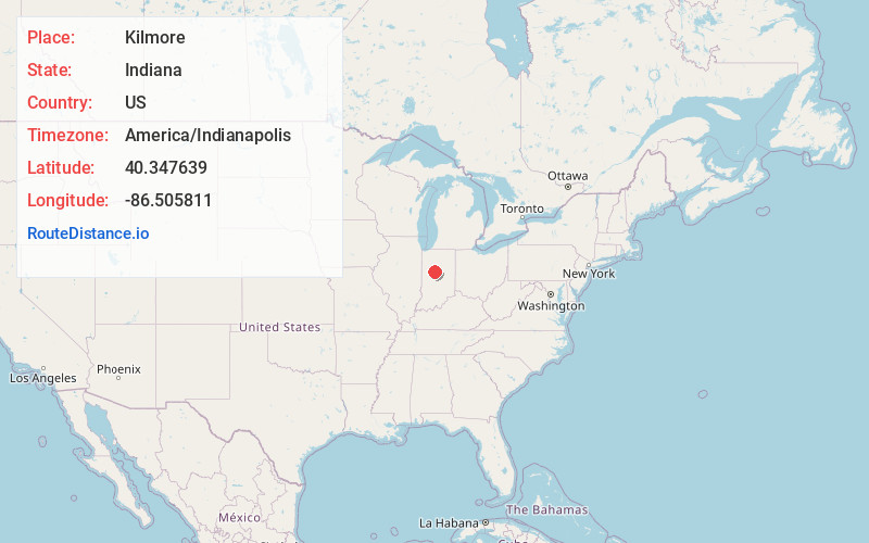
Full AddressKilmore, IN 46041
-
Coordinates40.3476385, -86.5058109
-
LocationKilmore , Indiana , US
-
TimezoneAmerica/Indianapolis
-
Page Views0
About Kilmore
Kilmore is an unincorporated community in Union Township, Clinton County, Indiana. The town was laid out in 1854 by Abner C. Pence and for twenty years was known as Penceville, but after it became a station on the Vandalia Railroad in 1870 the company changed its name to Kilmore after the nearby creek.
Nearby Places
Found 10 places within 50 miles

Moran
2.8 mi
4.5 km
Moran, IN 46041
Get directions
Beard
3.4 mi
5.5 km
Beard, IN 46041
Get directions
Avery
4.4 mi
7.1 km
Avery, IN 46041
Get directions
East Park
4.4 mi
7.1 km
East Park, Frankfort, IN 46041
Get directions

Frankfort
4.7 mi
7.6 km
Frankfort, IN 46041
Get directions
Sedalia
4.7 mi
7.6 km
Sedalia, IN 46041
Get directions
Risse
5.1 mi
8.2 km
Risse, Frankfort, IN 46041
Get directions
Geetingsville
5.1 mi
8.2 km
Geetingsville, IN 46041
Get directions

Michigantown
6.1 mi
9.8 km
Michigantown, IN 46057
Get directions

Rossville
6.7 mi
10.8 km
Rossville, IN 46065
Get directions
Location Links
Local Weather
Weather Information
Coming soon!
Location Map
Static map view of Kilmore, Indiana
Browse Places by Distance
Places within specific distances from Kilmore
Short Distances
Long Distances
Click any distance to see all places within that range from Kilmore. Distances shown in miles (1 mile ≈ 1.61 kilometers).