Distance to Kimberly, Oregon

Calculating Your Route
Just a moment while we process your request...
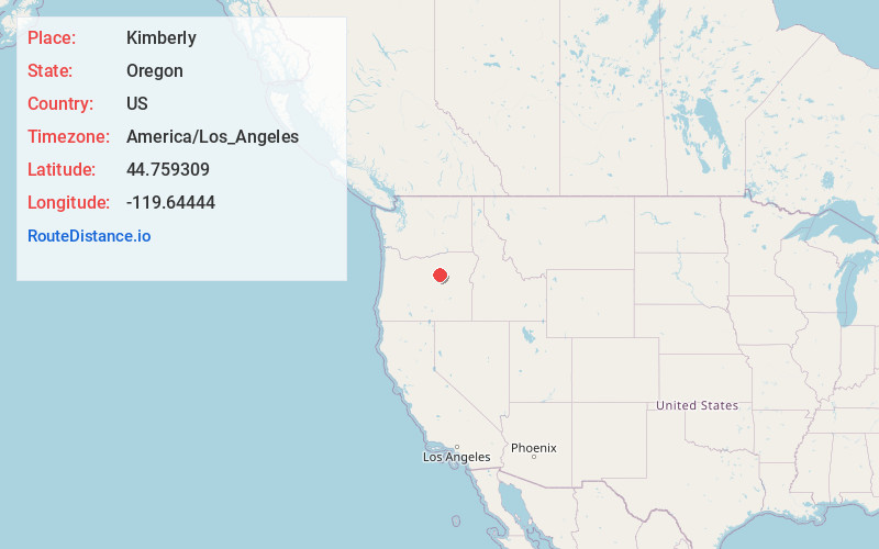
Location Information
-
Full AddressKimberly, OR 97848
-
Coordinates44.7593094, -119.6444397
-
LocationKimberly , Oregon , US
-
TimezoneAmerica/Los_Angeles
-
Current Local Time10:40:32 PM America/Los_AngelesSaturday, May 31, 2025
-
Page Views0
About Kimberly
Kimberly is an unincorporated community in Grant County, Oregon, United States. It is located at the intersection of Oregon Route 19 and Oregon Route 402 and the confluence of the John Day and the North Fork John Day rivers.
Kimberly was named after the prominent local Kimberly family.


Nearby Places
Found 10 places within 50 miles

Spray
9.0 mi
14.5 km
Spray, OR 97874
Get directions

Monument
11.7 mi
18.8 km
Monument, OR 97864
Get directions

Alder Mountain
17.2 mi
27.7 km
Alder Mountain, Oregon 97830
Get directions
Service Creek
18.0 mi
29.0 km
Service Creek, OR 97830
Get directions

Dayville
20.8 mi
33.5 km
Dayville, OR 97825
Get directions
Spoos Mill
23.3 mi
37.5 km
Spoos Mill, OR 97750
Get directions

Lonerock
25.6 mi
41.2 km
Lonerock, OR 97823
Get directions

Fox
25.7 mi
41.4 km
Fox, OR 97856
Get directions
Ritter
26.2 mi
42.2 km
Ritter, OR 97856
Get directions

Long Creek
26.7 mi
43.0 km
Long Creek, OR 97856
Get directions
Location Links
Local Weather
Weather Information
Coming soon!
Location Map
Static map view of Kimberly, Oregon
Browse Places by Distance
Places within specific distances from Kimberly
Short Distances
Long Distances
Click any distance to see all places within that range from Kimberly. Distances shown in miles (1 mile ≈ 1.61 kilometers).