Distance to Kimmell, Indiana

Calculating Your Route
Just a moment while we process your request...
Location Information
-
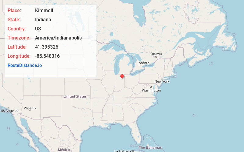
Full AddressKimmell, IN
-
Coordinates41.395326, -85.5483164
-
LocationKimmell , Indiana , US
-
TimezoneAmerica/Indianapolis
-
Page Views0
About Kimmell
Kimmell is an unincorporated census-designated place in Sparta Township, Noble County, in the U.S. state of Indiana.
Nearby Places
Found 10 places within 50 miles

Cromwell
3.5 mi
5.6 km
Cromwell, IN 46732
Get directions

Ligonier
5.3 mi
8.5 km
Ligonier, IN 46767
Get directions

Enchanted Hills
6.2 mi
10.0 km
Enchanted Hills, IN
Get directions

Albion
6.4 mi
10.3 km
Albion, IN 46701
Get directions

North Webster
9.1 mi
14.6 km
North Webster, IN 46555
Get directions
Topeka
10.0 mi
16.1 km
Topeka, IN 46571
Get directions

Syracuse
10.8 mi
17.4 km
Syracuse, IN 46567
Get directions

Rome City
11.1 mi
17.9 km
Rome City, IN
Get directions
Barbee
11.2 mi
18.0 km
Barbee, IN
Get directions
Mineral Springs
11.2 mi
18.0 km
Mineral Springs, Tippecanoe Township, IN 46538
Get directions
Location Links
Local Weather
Weather Information
Coming soon!
Location Map
Static map view of Kimmell, Indiana
Browse Places by Distance
Places within specific distances from Kimmell
Short Distances
Long Distances
Click any distance to see all places within that range from Kimmell. Distances shown in miles (1 mile ≈ 1.61 kilometers).