Distance to Kincaid, West Virginia

Calculating Your Route
Just a moment while we process your request...
Location Information
-
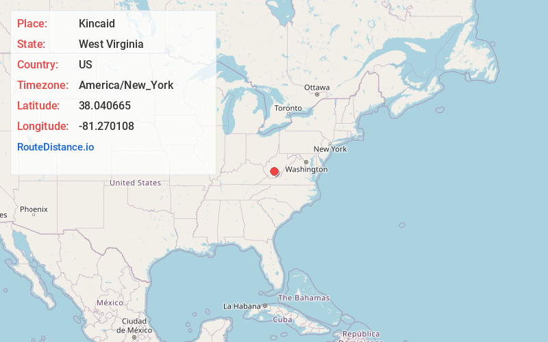
Full AddressKincaid, WV 25119
-
Coordinates38.0406645, -81.2701079
-
LocationKincaid , West Virginia , US
-
TimezoneAmerica/New_York
-
Current Local Time7:31:53 PM America/New_YorkSunday, June 1, 2025
-
Page Views0
About Kincaid
Kincaid is a census-designated place in Fayette County, West Virginia, United States. As of the 2010 census, its population was 260. Kincaid is located on West Virginia Route 61,8 miles northwest of Oak Hill. Kincaid has a post office with ZIP code 25119. The community was established in 1878.
Nearby Places
Found 10 places within 50 miles

Powellton
5.0 mi
8.0 km
Powellton, WV
Get directions
Charlton Heights
6.1 mi
9.8 km
Charlton Heights, WV 25115
Get directions

Falls View
6.2 mi
10.0 km
Falls View, WV 25139
Get directions
Kimberly
6.8 mi
10.9 km
Kimberly, WV
Get directions

Boomer
7.7 mi
12.4 km
Boomer, WV
Get directions

Oak Hill
8.1 mi
13.0 km
Oak Hill, WV
Get directions

Fayetteville
9.1 mi
14.6 km
Fayetteville, WV
Get directions

Hilltop
9.4 mi
15.1 km
Hilltop, WV
Get directions

Gauley Bridge
9.7 mi
15.6 km
Gauley Bridge, WV 25085
Get directions

Smithers
9.9 mi
15.9 km
Smithers, WV
Get directions
Location Links
Local Weather
Weather Information
Coming soon!
Location Map
Static map view of Kincaid, West Virginia
Browse Places by Distance
Places within specific distances from Kincaid
Short Distances
Long Distances
Click any distance to see all places within that range from Kincaid. Distances shown in miles (1 mile ≈ 1.61 kilometers).