Distance to and from Kings Landing, North Carolina
Kings Landing, NC 28443
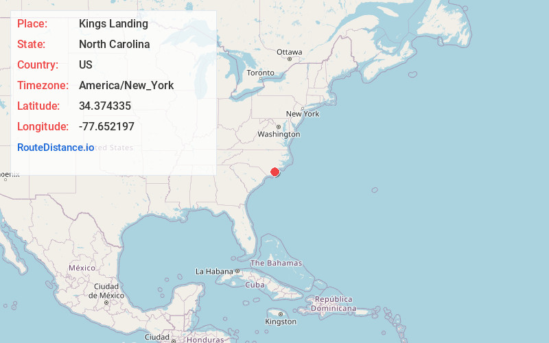
North Carolina
US
America/New_York
Location Information
-
Full AddressKings Landing, NC 28443
-
Coordinates34.3743351, -77.652197
-
LocationNorth Carolina , US
-
TimezoneAmerica/New_York
-
Current Local Time5:09:50 PM America/New_YorkSaturday, May 3, 2025
-
Page Views0
Directions to Nearest Cities
Nearby Places
Found 10 places within 50 miles

Topsail Beach
1.4 mi
2.3 km
Topsail Beach, NC
Get directions

Woodside
3.1 mi
5.0 km
Woodside, NC 28443
Get directions

Hampstead
3.4 mi
5.5 km
Hampstead, NC
Get directions

Sloop Point
3.7 mi
6.0 km
Sloop Point, NC 28443
Get directions
Watts Landing
4.8 mi
7.7 km
Watts Landing, NC 28443
Get directions

Surf City
7.1 mi
11.4 km
Surf City, NC
Get directions
Scotts Hill
7.4 mi
11.9 km
Scotts Hill, NC 28411
Get directions
Porters Neck Plantation
7.5 mi
12.1 km
Porters Neck Plantation, Porters Neck, NC 28411
Get directions
Bayshore
9.7 mi
15.6 km
Bayshore, NC 28411
Get directions
Holly Ridge
10.0 mi
16.1 km
Holly Ridge, NC 28445
Get directions
Topsail Beach
1.4 mi
2.3 km
Topsail Beach, NC
Woodside
3.1 mi
5.0 km
Woodside, NC 28443
Hampstead
3.4 mi
5.5 km
Hampstead, NC
Sloop Point
3.7 mi
6.0 km
Sloop Point, NC 28443
Watts Landing
4.8 mi
7.7 km
Watts Landing, NC 28443
Surf City
7.1 mi
11.4 km
Surf City, NC
Scotts Hill
7.4 mi
11.9 km
Scotts Hill, NC 28411
Porters Neck Plantation
7.5 mi
12.1 km
Porters Neck Plantation, Porters Neck, NC 28411
Bayshore
9.7 mi
15.6 km
Bayshore, NC 28411
Holly Ridge
10.0 mi
16.1 km
Holly Ridge, NC 28445
Location Links
Local Weather
Weather Information
Coming soon!
Location Map
Static map view of Kings Landing, North Carolina
Browse Places by Distance
Places within specific distances from Kings Landing
Short Distances
Long Distances
Click any distance to see all places within that range from Kings Landing. Distances shown in miles (1 mile ≈ 1.61 kilometers).