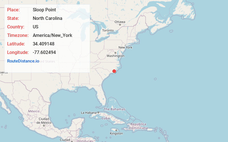
Distance to Sloop Point, North Carolina

Calculating Your Route
Just a moment while we process your request...
Location Information
-
Full AddressSloop Point, NC 28443
-
Coordinates34.409148, -77.6024939
-
LocationSloop Point , North Carolina , US
-
TimezoneAmerica/New_York
-
Current Local Time3:01:58 PM America/New_YorkFriday, June 20, 2025
-
Page Views0
About Sloop Point
Sloop Point is an unincorporated community and village in Pender County, North Carolina, United States.


Nearby Places
Found 10 places within 50 miles

Watts Landing
1.1 mi
1.8 km
Watts Landing, NC 28443
Get directions

Topsail Beach
3.4 mi
5.5 km
Topsail Beach, NC
Get directions

Surf City
3.4 mi
5.5 km
Surf City, NC
Get directions
Holly Ridge
6.5 mi
10.5 km
Holly Ridge, NC 28445
Get directions

Hampstead
6.8 mi
10.9 km
Hampstead, NC
Get directions
Thomas Landing
9.0 mi
14.5 km
Thomas Landing, NC 28445
Get directions
Scotts Hill
11.1 mi
17.9 km
Scotts Hill, NC 28411
Get directions
Porters Neck Plantation
11.2 mi
18.0 km
Porters Neck Plantation, Porters Neck, NC 28411
Get directions
Mooretown
12.8 mi
20.6 km
Mooretown, NC 28457
Get directions
Bayshore
13.4 mi
21.6 km
Bayshore, NC 28411
Get directions
Location Links
Local Weather
Weather Information
Coming soon!
Location Map
Static map view of Sloop Point, North Carolina
Browse Places by Distance
Places within specific distances from Sloop Point
Short Distances
Long Distances
Click any distance to see all places within that range from Sloop Point. Distances shown in miles (1 mile ≈ 1.61 kilometers).