Distance to Thomas Landing, North Carolina

Calculating Your Route
Just a moment while we process your request...
Location Information
-
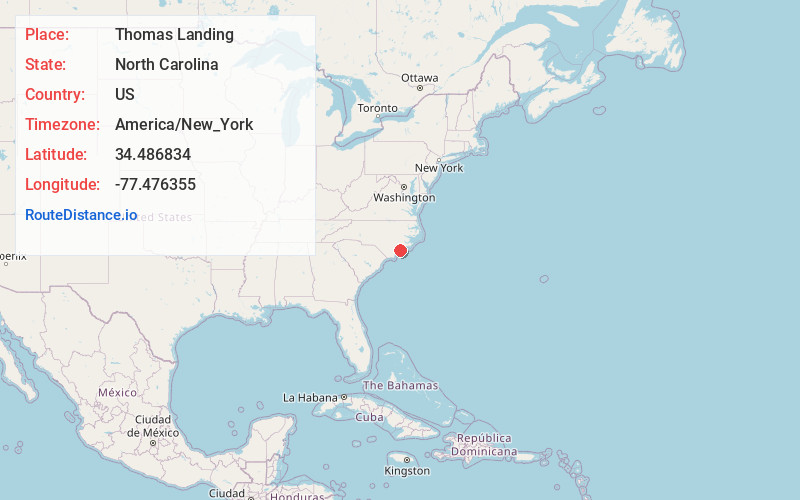
Full AddressThomas Landing, NC 28445
-
Coordinates34.4868335, -77.4763545
-
LocationNorth Carolina , US
-
TimezoneAmerica/New_York
-
Current Local Time5:22:53 AM America/New_YorkWednesday, June 18, 2025
-
Page Views0
Nearby Places
Found 10 places within 50 miles

Holly Ridge
4.5 mi
7.2 km
Holly Ridge, NC 28445
Get directions

Surf City
5.7 mi
9.2 km
Surf City, NC
Get directions

Sneads Ferry
6.4 mi
10.3 km
Sneads Ferry, NC 28460
Get directions

Topsail Beach
12.2 mi
19.6 km
Topsail Beach, NC
Get directions
Verona
12.6 mi
20.3 km
Verona, NC 28540
Get directions

Hampstead
15.7 mi
25.3 km
Hampstead, NC
Get directions

Jacksonville
18.6 mi
29.9 km
Jacksonville, NC
Get directions

Piney Green
18.8 mi
30.3 km
Piney Green, NC
Get directions
Porters Neck Plantation
20.2 mi
32.5 km
Porters Neck Plantation, Porters Neck, NC 28411
Get directions
Pumpkin Center
21.7 mi
34.9 km
Pumpkin Center, NC 28546
Get directions
Location Links
Local Weather
Weather Information
Coming soon!
Location Map
Static map view of Thomas Landing, North Carolina
Browse Places by Distance
Places within specific distances from Thomas Landing
Short Distances
Long Distances
Click any distance to see all places within that range from Thomas Landing. Distances shown in miles (1 mile ≈ 1.61 kilometers).