Distance to Mooretown, North Carolina

Calculating Your Route
Just a moment while we process your request...
Location Information
-
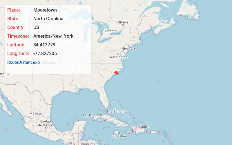
Full AddressMooretown, NC 28457
-
Coordinates34.4137791, -77.8272053
-
LocationNorth Carolina , US
-
TimezoneAmerica/New_York
-
Current Local Time11:20:27 PM America/New_YorkThursday, June 19, 2025
-
Page Views0
Nearby Places
Found 10 places within 50 miles

Rocky Point
3.8 mi
6.1 km
Rocky Point, NC
Get directions

Castle Hayne
5.8 mi
9.3 km
Castle Hayne, NC
Get directions

Hampstead
7.4 mi
11.9 km
Hampstead, NC
Get directions

Skippers Corner
7.5 mi
12.1 km
Skippers Corner, NC 28429
Get directions

Murrayville
8.2 mi
13.2 km
Murrayville, NC
Get directions
St Helena
8.6 mi
13.8 km
St Helena, NC 28425
Get directions
Bayshore
8.9 mi
14.3 km
Bayshore, NC 28411
Get directions
Porters Neck Plantation
9.3 mi
15.0 km
Porters Neck Plantation, Porters Neck, NC 28411
Get directions
Ogden
9.8 mi
15.8 km
Ogden, NC
Get directions

Wrightsboro
10.2 mi
16.4 km
Wrightsboro, NC
Get directions
Location Links
Local Weather
Weather Information
Coming soon!
Location Map
Static map view of Mooretown, North Carolina
Browse Places by Distance
Places within specific distances from Mooretown
Short Distances
Long Distances
Click any distance to see all places within that range from Mooretown. Distances shown in miles (1 mile ≈ 1.61 kilometers).