Distance to Rocky Point, North Carolina

Calculating Your Route
Just a moment while we process your request...
Location Information
-
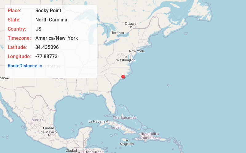
Full AddressRocky Point, NC
-
Coordinates34.4350957, -77.8877304
-
LocationRocky Point , North Carolina , US
-
TimezoneAmerica/New_York
-
Current Local Time4:15:34 AM America/New_YorkFriday, June 20, 2025
-
Page Views0
About Rocky Point
Rocky Point is a census-designated place and unincorporated community in Pender County, North Carolina, United States. The population was 1,476 at the 2020 census.
Rocky Point is within the Wilmington, NC Metropolitan Statistical Area.


Nearby Places
Found 10 places within 50 miles

Castle Hayne
5.5 mi
8.9 km
Castle Hayne, NC
Get directions

Skippers Corner
7.2 mi
11.6 km
Skippers Corner, NC 28429
Get directions

Burgaw
8.4 mi
13.5 km
Burgaw, NC 28425
Get directions

Murrayville
9.9 mi
15.9 km
Murrayville, NC
Get directions

Wrightsboro
10.3 mi
16.6 km
Wrightsboro, NC
Get directions

Hampstead
11.1 mi
17.9 km
Hampstead, NC
Get directions
Bayshore
11.6 mi
18.7 km
Bayshore, NC 28411
Get directions
Ogden
11.9 mi
19.2 km
Ogden, NC
Get directions

Kings Grant
12.0 mi
19.3 km
Kings Grant, NC
Get directions
Porters Neck Plantation
12.5 mi
20.1 km
Porters Neck Plantation, Porters Neck, NC 28411
Get directions
Location Links
Local Weather
Weather Information
Coming soon!
Location Map
Static map view of Rocky Point, North Carolina
Browse Places by Distance
Places within specific distances from Rocky Point
Short Distances
Long Distances
Click any distance to see all places within that range from Rocky Point. Distances shown in miles (1 mile ≈ 1.61 kilometers).