Distance to Kings Landing, Massachusetts

Calculating Your Route
Just a moment while we process your request...
Location Information
-
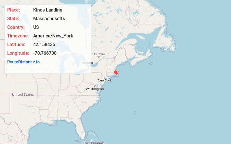
Full AddressKings Landing, Norwell, MA 02061
-
Coordinates42.1584349, -70.7667078
-
LocationNorwell , Massachusetts , US
-
TimezoneAmerica/New_York
-
Current Local Time1:50:19 AM America/New_YorkThursday, June 19, 2025
-
Page Views0
Nearby Places
Found 10 places within 50 miles

Norwell
2.6 mi
4.2 km
Norwell, MA 02061
Get directions

Scituate
2.7 mi
4.3 km
Scituate, MA
Get directions

Fourth Cliff
3.2 mi
5.1 km
Fourth Cliff, Scituate, MA 02050
Get directions
Ferry Hill
3.7 mi
6.0 km
Ferry Hill, Marshfield, MA 02050
Get directions
Hatherly Beach
4.1 mi
6.6 km
Hatherly Beach, Scituate, MA 02066
Get directions
Shore Acres
4.1 mi
6.6 km
Shore Acres, Scituate, MA 02066
Get directions
Beechwood
4.4 mi
7.1 km
Beechwood, Cohasset, MA 02025
Get directions
Mann Hill Beach
4.5 mi
7.2 km
Mann Hill Beach, Scituate, MA 02066
Get directions
Hanover Center
4.8 mi
7.7 km
Hanover Center, Hanover, MA 02339
Get directions

Hanover
5.1 mi
8.2 km
Hanover, MA 02339
Get directions
Location Links
Local Weather
Weather Information
Coming soon!
Location Map
Static map view of Kings Landing, Massachusetts
Browse Places by Distance
Places within specific distances from Kings Landing
Short Distances
Long Distances
Click any distance to see all places within that range from Kings Landing. Distances shown in miles (1 mile ≈ 1.61 kilometers).