Distance to Kingvale, California

Calculating Your Route
Just a moment while we process your request...
Location Information
-
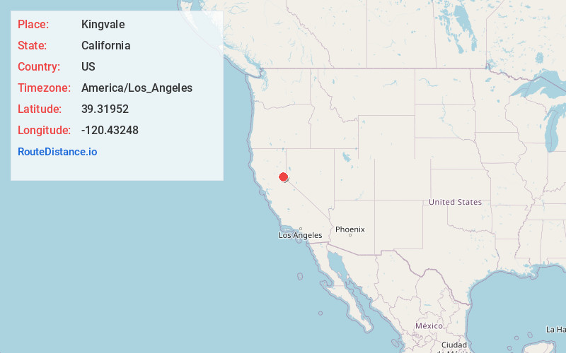
Full AddressKingvale, CA 96161
-
Coordinates39.3195198, -120.4324796
-
LocationKingvale , California , US
-
TimezoneAmerica/Los_Angeles
-
Current Local Time12:42:43 PM America/Los_AngelesSunday, June 15, 2025
-
Page Views0
About Kingvale
Kingvale is a census-designated place in Placer County and Nevada County, California, United States. The CDP straddles the border of the two counties, with Nevada County to the north and Placer County to the south. It is located near Soda Springs, 5.5 mi west of Donner Pass.


Nearby Places
Found 10 places within 50 miles

Truckee
13.3 mi
21.4 km
Truckee, CA 96161
Get directions

Olympic Valley
13.5 mi
21.7 km
Olympic Valley, CA 96146
Get directions

Tahoe City
18.6 mi
29.9 km
Tahoe City, CA
Get directions

Sierraville
19.0 mi
30.6 km
Sierraville, CA 96126
Get directions

Washington
19.8 mi
31.9 km
Washington, CA 95986
Get directions

Dollar Point
20.0 mi
32.2 km
Dollar Point, CA 96145
Get directions

Sierra City
20.2 mi
32.5 km
Sierra City, CA 96125
Get directions

Casa Loma
20.3 mi
32.7 km
Casa Loma, CA 95701
Get directions

Tahoe Vista
21.1 mi
34.0 km
Tahoe Vista, CA
Get directions

Alta
21.7 mi
34.9 km
Alta, CA 95701
Get directions
Location Links
Local Weather
Weather Information
Coming soon!
Location Map
Static map view of Kingvale, California
Browse Places by Distance
Places within specific distances from Kingvale
Short Distances
Long Distances
Click any distance to see all places within that range from Kingvale. Distances shown in miles (1 mile ≈ 1.61 kilometers).