Distance to Kirby, Montana

Calculating Your Route
Just a moment while we process your request...
Location Information
-
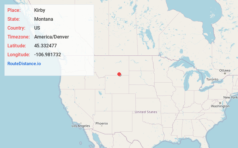
Full AddressKirby, MT 59016
-
Coordinates45.3324769, -106.9817317
-
LocationKirby , Montana , US
-
TimezoneAmerica/Denver
-
Current Local Time4:12:42 PM America/DenverTuesday, June 3, 2025
-
Page Views0
About Kirby
Kirby was an unincorporated community in Big Horn County, Montana, United States. The community location is at an elevation of 3,878 feet. The site is on the west bank of Rosebud Creek. Rosebud Battlefield State Park lies approximately twelve miles south of the community, just west of Rosebud Creek.
Nearby Places
Found 10 places within 50 miles

Busby
14.2 mi
22.9 km
Busby, MT 59016
Get directions

Lodge Grass
18.6 mi
29.9 km
Lodge Grass, MT 59050
Get directions

Spear
21.4 mi
34.4 km
Spear, MT 59050
Get directions
Benteen
21.9 mi
35.2 km
Benteen, MT 59031
Get directions
Birney
22.7 mi
36.5 km
Birney, MT 59012
Get directions
Muddy
22.7 mi
36.5 km
Muddy, MT
Get directions

Wyola
24.4 mi
39.3 km
Wyola, MT 59089
Get directions

Lame Deer
25.2 mi
40.6 km
Lame Deer, MT
Get directions
Birney Day School
25.7 mi
41.4 km
Birney Day School, Birney, MT 59012
Get directions

Aberdeen
26.5 mi
42.6 km
Aberdeen, MT 59089
Get directions
Location Links
Local Weather
Weather Information
Coming soon!
Location Map
Static map view of Kirby, Montana
Browse Places by Distance
Places within specific distances from Kirby
Short Distances
Long Distances
Click any distance to see all places within that range from Kirby. Distances shown in miles (1 mile ≈ 1.61 kilometers).