Distance to Kitsap County, Washington

Calculating Your Route
Just a moment while we process your request...
Location Information
-
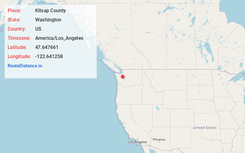
Full AddressKitsap County, WA
-
Coordinates47.6476607, -122.6412583
-
LocationWashington , US
-
TimezoneAmerica/Los_Angeles
-
Current Local Time12:42:22 PM America/Los_AngelesFriday, June 20, 2025
-
Page Views0
About Kitsap County
Kitsap County is a county in the U.S. state of Washington. As of the 2020 census, its population was 275,611. Its county seat is Port Orchard; its largest city is Bremerton. The county, formed out of King County and Jefferson County on January 16, 1857, is named for Chief Kitsap of the Suquamish Tribe.


Nearby Places
Found 10 places within 50 miles

Brownsville
1.3 mi
2.1 km
Brownsville, WA 98370
Get directions

Johansons Corner
1.3 mi
2.1 km
Johansons Corner, WA 98311
Get directions
Meadowdale
1.5 mi
2.4 km
Meadowdale, WA 98311
Get directions

Gilberton
1.8 mi
2.9 km
Gilberton, WA 98311
Get directions
Trikkala
1.9 mi
3.1 km
Trikkala, WA 98311
Get directions
Kariotis
2.2 mi
3.5 km
Kariotis, WA 98311
Get directions

Fairview
2.2 mi
3.5 km
Fairview, WA 98311
Get directions

Silverdale
2.5 mi
4.0 km
Silverdale, WA
Get directions

Tracyton
2.7 mi
4.3 km
Tracyton, WA
Get directions

Illahee
3.2 mi
5.1 km
Illahee, WA 98311
Get directions
Location Links
Local Weather
Weather Information
Coming soon!
Location Map
Static map view of Kitsap County, Washington
Browse Places by Distance
Places within specific distances from Kitsap County
Short Distances
Long Distances
Click any distance to see all places within that range from Kitsap County. Distances shown in miles (1 mile ≈ 1.61 kilometers).