Distance to Knauertown, Pennsylvania

Calculating Your Route
Just a moment while we process your request...
Location Information
-
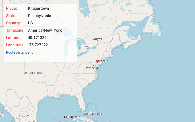
Full AddressKnauertown, PA 19465
-
Coordinates40.171389, -75.727222
-
LocationKnauertown , Pennsylvania , US
-
TimezoneAmerica/New_York
-
Current Local Time12:11:35 AM America/New_YorkTuesday, May 20, 2025
-
Page Views0
About Knauertown
Knauertown is a village in Warwick Township, Chester County, Pennsylvania, United States. Located on Pennsylvania Route 23, the land in and around present-day Knauertown was bought and settled by Johann Christopher Knauer in 1753.
Nearby Places
Found 10 places within 50 miles

St Peters
0.6 mi
1.0 km
St Peters, PA 19465
Get directions

Harmonyville
1.3 mi
2.1 km
Harmonyville, Warwick Township, PA 19465
Get directions
Trythall
1.4 mi
2.3 km
Trythall, Warwick Township, PA 19520
Get directions
Coventryville
2.0 mi
3.2 km
Coventryville, South Coventry Township, PA 19465
Get directions
South Coventry Township
2.6 mi
4.2 km
South Coventry Township, PA
Get directions
Warwick
3.0 mi
4.8 km
Warwick, PA 19520
Get directions
Pine Swamp
3.2 mi
5.1 km
Pine Swamp, PA 19520
Get directions
East Nantmeal
3.4 mi
5.5 km
East Nantmeal, PA 19343
Get directions

North Coventry Township
4.0 mi
6.4 km
North Coventry Township, PA 19465
Get directions
Porters Mill
4.4 mi
7.1 km
Porters Mill, South Coventry Township, PA 19465
Get directions
Location Links
Local Weather
Weather Information
Coming soon!
Location Map
Static map view of Knauertown, Pennsylvania
Browse Places by Distance
Places within specific distances from Knauertown
Short Distances
Long Distances
Click any distance to see all places within that range from Knauertown. Distances shown in miles (1 mile ≈ 1.61 kilometers).