Distance to Kneeland, California

Calculating Your Route
Just a moment while we process your request...
Location Information
-
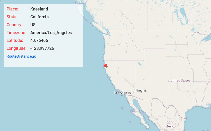
Full AddressKneeland, CA 95549
-
Coordinates40.7646602, -123.997726
-
LocationKneeland , California , US
-
TimezoneAmerica/Los_Angeles
-
Current Local Time1:51:44 AM America/Los_AngelesThursday, May 22, 2025
-
Page Views0
About Kneeland
Kneeland is an unincorporated community in Humboldt County, California. It is located 7.5 miles south-southwest of Korbel, at an elevation of 2,129 feet. Kneeland Airport is nearby. The ZIP code is 95549.


Nearby Places
Found 10 places within 50 miles

Maple Creek
6.6 mi
10.6 km
Maple Creek, CA 95550
Get directions

Myrtletown
7.1 mi
11.4 km
Myrtletown, CA
Get directions
Cutten
7.6 mi
12.2 km
Cutten, CA 95503
Get directions

Blue Lake
8.2 mi
13.2 km
Blue Lake, CA
Get directions

Arcata
8.3 mi
13.4 km
Arcata, CA
Get directions
Rosewood
8.8 mi
14.2 km
Rosewood, CA 95503
Get directions

Eureka
9.1 mi
14.6 km
Eureka, CA
Get directions

Humboldt Hill
10.4 mi
16.7 km
Humboldt Hill, CA 95503
Get directions
Manila
10.6 mi
17.1 km
Manila, CA 95521
Get directions
Fernwood
10.6 mi
17.1 km
Fernwood, CA 95525
Get directions
Location Links
Local Weather
Weather Information
Coming soon!
Location Map
Static map view of Kneeland, California
Browse Places by Distance
Places within specific distances from Kneeland
Short Distances
Long Distances
Click any distance to see all places within that range from Kneeland. Distances shown in miles (1 mile ≈ 1.61 kilometers).