Distance to Rosewood, California

Calculating Your Route
Just a moment while we process your request...
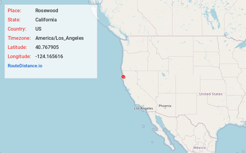
Location Information
-
Full AddressRosewood, CA 95503
-
Coordinates40.7679049, -124.1656163
-
LocationRosewood , California , US
-
TimezoneAmerica/Los_Angeles
-
Current Local Time8:54:18 AM America/Los_AngelesThursday, June 5, 2025
-
Page Views0
About Rosewood
Rosewood is an unincorporated community in Humboldt County, California. It is located 1 mi south of Eureka, at an elevation of 131 feet.
The Stumpville post office opened in 1930, changed its name to Rosewood in 1941, and closed permanently in 1955.
Nearby Places
Found 10 places within 50 miles

Cutten
1.2 mi
1.9 km
Cutten, CA 95503
Get directions

Fairhaven
2.3 mi
3.7 km
Fairhaven, CA 95564
Get directions

Myrtletown
2.3 mi
3.7 km
Myrtletown, CA
Get directions

Eureka
2.4 mi
3.9 km
Eureka, CA
Get directions

Humboldt Hill
3.2 mi
5.1 km
Humboldt Hill, CA 95503
Get directions

Samoa
3.4 mi
5.5 km
Samoa, CA
Get directions

Fields Landing
4.0 mi
6.4 km
Fields Landing, CA
Get directions
Manila
5.8 mi
9.3 km
Manila, CA 95521
Get directions

Arcata
8.1 mi
13.0 km
Arcata, CA
Get directions

Loleta
9.3 mi
15.0 km
Loleta, CA
Get directions
Location Links
Local Weather
Weather Information
Coming soon!
Location Map
Static map view of Rosewood, California
Browse Places by Distance
Places within specific distances from Rosewood
Short Distances
Long Distances
Click any distance to see all places within that range from Rosewood. Distances shown in miles (1 mile ≈ 1.61 kilometers).