Distance to Knippa, Texas

Calculating Your Route
Just a moment while we process your request...
Location Information
-
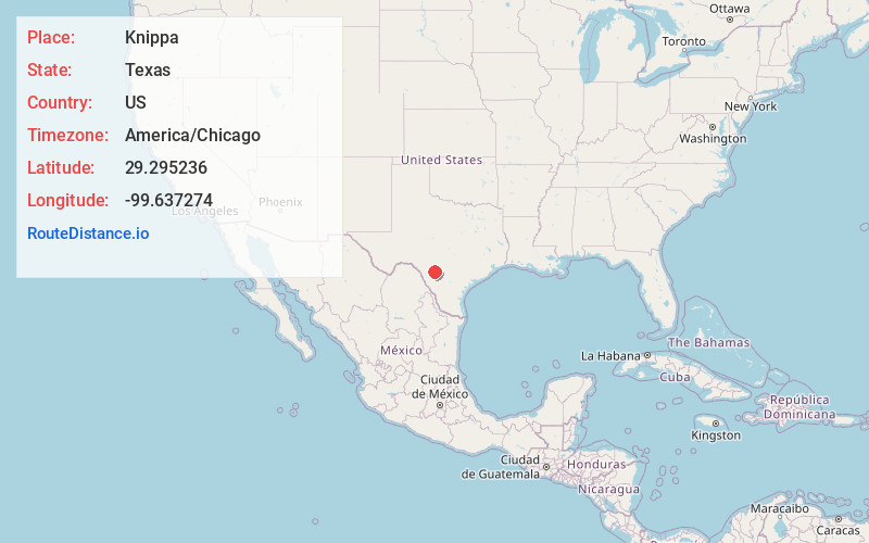
Full AddressKnippa, TX 78870
-
Coordinates29.2952364, -99.6372741
-
LocationKnippa , Texas , US
-
TimezoneAmerica/Chicago
-
Current Local Time11:49:41 AM America/ChicagoFriday, June 27, 2025
-
Page Views0
About Knippa
Knippa is a census-designated place in Uvalde County, Texas, United States. The population was 606 at the 2020 census, down from 689 in 2010. It is part of the Uvalde, Texas Micropolitan Statistical Area.
Nearby Places
Found 10 places within 50 miles

Uvalde
10.7 mi
17.2 km
Uvalde, TX 78801
Get directions

Uvalde Estates
14.8 mi
23.8 km
Uvalde Estates, TX 78801
Get directions

Batesville
23.8 mi
38.3 km
Batesville, TX 78829
Get directions

La Pryor
27.6 mi
44.4 km
La Pryor, TX 78872
Get directions

Hondo
30.1 mi
48.4 km
Hondo, TX 78861
Get directions

Medina
41.8 mi
67.3 km
Medina, TX 78055
Get directions

Pearsall
43.0 mi
69.2 km
Pearsall, TX 78061
Get directions

Crystal City
44.2 mi
71.1 km
Crystal City, TX 78839
Get directions

Devine
45.4 mi
73.1 km
Devine, TX 78016
Get directions

Castroville
45.9 mi
73.9 km
Castroville, TX
Get directions
Location Links
Local Weather
Weather Information
Coming soon!
Location Map
Static map view of Knippa, Texas
Browse Places by Distance
Places within specific distances from Knippa
Short Distances
Long Distances
Click any distance to see all places within that range from Knippa. Distances shown in miles (1 mile ≈ 1.61 kilometers).