Distance to Knox County, Missouri

Calculating Your Route
Just a moment while we process your request...
Location Information
-
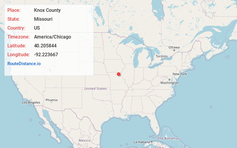
Full AddressKnox County, MO
-
Coordinates40.2058437, -92.2236667
-
LocationMissouri , US
-
TimezoneAmerica/Chicago
-
Current Local Time5:04:18 AM America/ChicagoWednesday, June 18, 2025
-
Page Views0
About Knox County
Knox County is a county located in the northeast portion of the U.S. state of Missouri. As of the 2020 census, its population was 3,744, making it the third-least populous county in Missouri. Its county seat is Edina. The county was organized February 14, 1845, and named for U.S. Secretary of War General Henry Knox.

Nearby Places
Found 10 places within 50 miles

Baring
2.8 mi
4.5 km
Baring, MO 63537
Get directions

Edina
3.8 mi
6.1 km
Edina, MO 63537
Get directions

Hurdland
5.7 mi
9.2 km
Hurdland, MO 63547
Get directions
Brashear
9.1 mi
14.6 km
Brashear, MO 63533
Get directions
Rutledge
10.5 mi
16.9 km
Rutledge, MO 63563
Get directions
Bible Grove
11.0 mi
17.7 km
Bible Grove, MO 63546
Get directions
Edinburg
11.8 mi
19.0 km
Edinburg, Tobin Township, MO 63563
Get directions
Knox City
12.1 mi
19.5 km
Knox City, MO 63446
Get directions

Gibbs
12.6 mi
20.3 km
Gibbs, MO 63540
Get directions
Novelty
13.4 mi
21.6 km
Novelty, MO 63460
Get directions
Location Links
Local Weather
Weather Information
Coming soon!
Location Map
Static map view of Knox County, Missouri
Browse Places by Distance
Places within specific distances from Knox County
Short Distances
Long Distances
Click any distance to see all places within that range from Knox County. Distances shown in miles (1 mile ≈ 1.61 kilometers).