Distance to Kodiak Island, Alaska

Calculating Your Route
Just a moment while we process your request...
Location Information
-
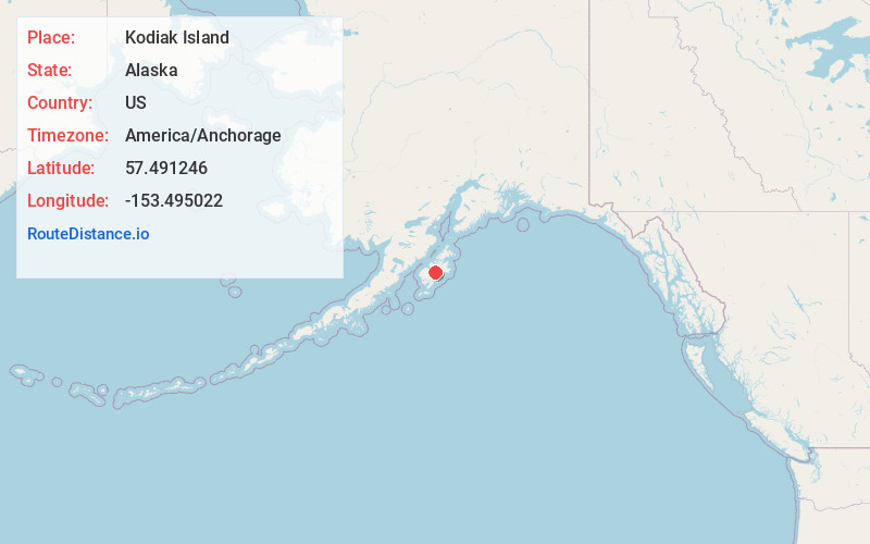
Full AddressKodiak Island, Alaska
-
Coordinates57.4912463, -153.495022
-
LocationAlaska , US
-
TimezoneAmerica/Anchorage
-
Current Local Time7:43:25 AM America/AnchorageWednesday, June 18, 2025
-
Page Views0
About Kodiak Island
The largest island in Alaska & home to a 1.9-million-acre wildlife refuge, plus water sports.


Nearby Places
Found 10 places within 50 miles

Amook Bay Seaplane Base
11.9 mi
19.2 km
Amook Bay Seaplane Base, Amook Bay, AK 99697
Get directions
Port O'Brien
17.9 mi
28.8 km
Port O'Brien, AK 99615
Get directions
Larsen Bay
18.3 mi
29.5 km
Larsen Bay, AK
Get directions
Old Harbor
21.1 mi
34.0 km
Old Harbor, AK
Get directions
Uyak
21.3 mi
34.3 km
Uyak, AK 99615
Get directions
Port Hobron
26.1 mi
42.0 km
Port Hobron, AK
Get directions
Port Lions
34.4 mi
55.4 km
Port Lions, AK
Get directions

Karluk
35.3 mi
56.8 km
Karluk, AK 99615
Get directions

Womens Bay
37.2 mi
59.9 km
Womens Bay, AK 99615
Get directions

Ayakulik River
40.1 mi
64.5 km
Ayakulik River, Alaska 99615
Get directions
Location Links
Local Weather
Weather Information
Coming soon!
Location Map
Static map view of Kodiak Island, Alaska
Browse Places by Distance
Places within specific distances from Kodiak Island
Short Distances
Long Distances
Click any distance to see all places within that range from Kodiak Island. Distances shown in miles (1 mile ≈ 1.61 kilometers).